Chhata Tehsil, Administrative sub-division in Mathura district, India
Chhata Tehsil is an administrative subdivision in Mathura district that encompasses rural villages and smaller urban centers with diverse populations and economies. The territory spans several hundred square kilometers and includes towns along with dispersed farming settlements that form the broader administrative region.
This administrative region emerged as a key tehsil within Mathura district and was established to organize local governance across its villages and towns. Its development reflects the broader administrative expansion of the district over time.
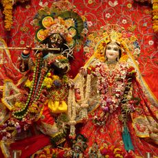
The region maintains its regional identity through agricultural practices and village life that continue to shape daily routines across settlements, with farming communities gathering seasonally for markets and celebrations that reflect their connection to the land.
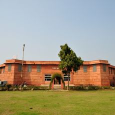
This administrative subdivision is located north of Mathura city and contains government offices serving the local population. The region consists of dispersed settlements spread across the territory, so planning your route before visiting is helpful.
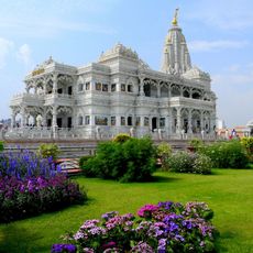
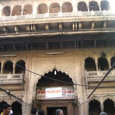
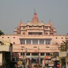
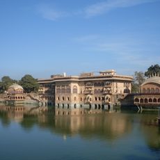
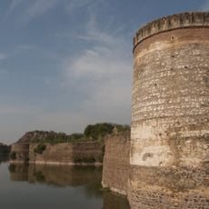
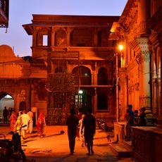
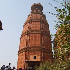
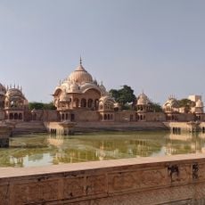
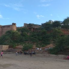
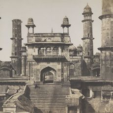
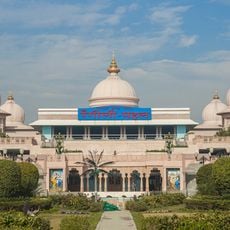
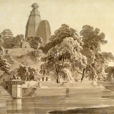
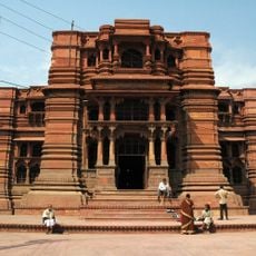
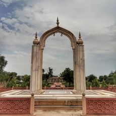
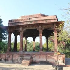
The region sits at an elevated plateau and contains several older settlements that have preserved their traditional layouts, serving as local landmarks. These ancient villages display typical architectural features of the area that travelers often miss when passing through.
The community of curious travelers
AroundUs brings together thousands of curated places, local tips, and hidden gems, enriched daily by 60,000 contributors worldwide.