
Majin District, district in Ilam Province, Iran
Location: Darreh Shahr County
GPS coordinates: 32.91667,47.76667
Latest update: March 14, 2025 03:19
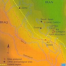
Ali Kosh
57.5 km
Gavmishan Bridge
28.4 km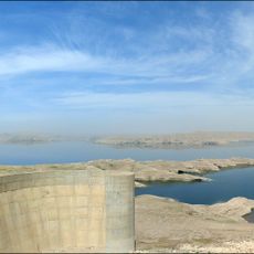
Karkheh Dam
58.3 km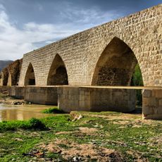
Shapuri Bridge (Khorramabad)
81.3 km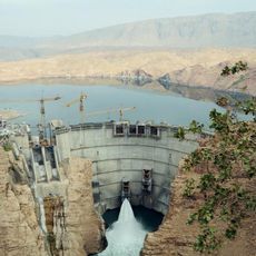
Seimare Dam
67.5 km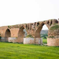
Kashkan Bridge
75.5 km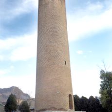
Brick Minaret
82.2 km
Shikaft-e Gulgul
70 km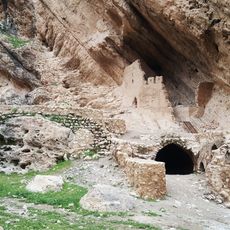
Sheykh Makan Castle
39.7 km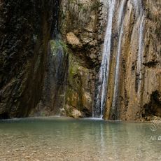
Nojian Waterfall
83.1 km
Seymareh
44.3 km
Kornasian Hammam
83.2 km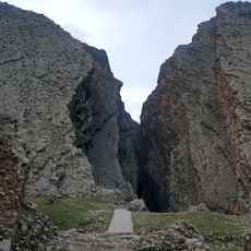
Bahram Chobin Canyon
34.8 km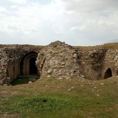
Hezar Darb Castle
32.3 km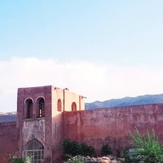
Mir Gholam Hashemi Castle
48.2 km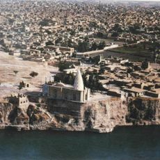
Rudband (Dezful)
82.8 km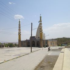
Imamzadeh Salah al-Din Muhammad
33 km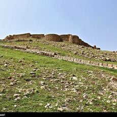
Posht Qaleh Castle
31.8 km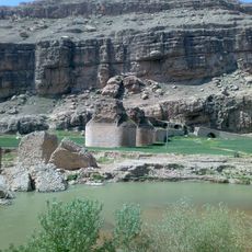
Pol-e Dokhtar
27.6 km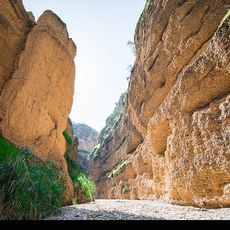
Kool Kherson
79.7 km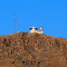
Kasin Observatory
83.4 km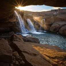
Afrineh Waterfall
45.6 km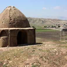
Darreh Shahr Chahartaq
43.5 km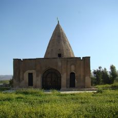
Imamzadeh Pir Muhammad (Jaber-e Ansar)
31.4 km
Imamzadeh Shahanshan
71.7 km
Purashraf Castle
39.6 km
Qaleh Nasir Caravanserai
45.6 km
Shahanshan Caravanserai
71.8 kmReviews
Visited this place? Tap the stars to rate it and share your experience / photos with the community! Try now! You can cancel it anytime.
Discover hidden gems everywhere you go!
From secret cafés to breathtaking viewpoints, skip the crowded tourist spots and find places that match your style. Our app makes it easy with voice search, smart filtering, route optimization, and insider tips from travelers worldwide. Download now for the complete mobile experience.

A unique approach to discovering new places❞
— Le Figaro
All the places worth exploring❞
— France Info
A tailor-made excursion in just a few clicks❞
— 20 Minutes