Rasen-Antholz, Mountain municipality in South Tyrol, Italy
Rasen-Antholz is a mountain municipality in South Tyrol situated in a valley surrounded by Alpine peaks and ridges. The territory includes several small settlements spread across different elevations with forests, meadows, and higher mountain zones all accessible from the main valley floor.
People lived in the Antholz valley during the Iron Age and the region later came under Roman control. After Roman times, Bavarian settlers moved into the area and shaped the cultural and linguistic development that continues today.
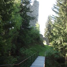
The inhabitants speak German as their main language and keep Alpine traditions alive through local celebrations and building styles. You notice traditional painted wooden houses and decorated balconies throughout the villages, reflecting how communities here value their heritage.
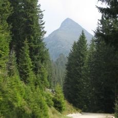
The municipality is accessible by car, public buses, and on foot with well-marked hiking trails throughout the valley. Winter weather can bring heavy snow and challenging conditions, so planning ahead and checking local conditions before visiting is advisable.
This territory is divided into six distinct villages, each with its own character and location, together forming the complete community. Visitors can walk or drive between these different settlements to experience varied landscapes and local life in each area.
The community of curious travelers
AroundUs brings together thousands of curated places, local tips, and hidden gems, enriched daily by 60,000 contributors worldwide.