Genga, Italian comune
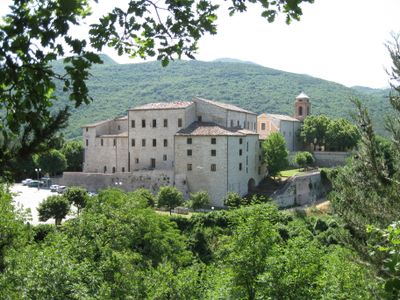
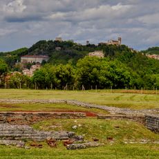
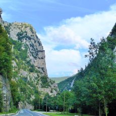
Genga is a commune in the Province of Ancona, in the Marche region of central Italy. The municipal territory covers hilly ground and is made up of several small village centers scattered across a limestone landscape.
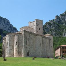
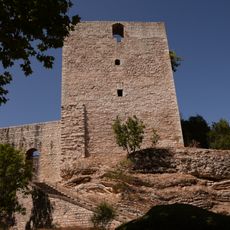
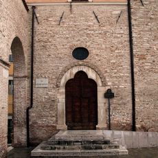
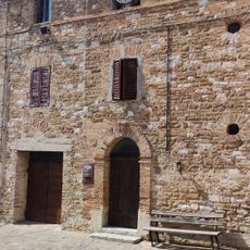
The commune dates to medieval times and was part of the Papal States for several centuries. Its position deep in the hills kept it far from major trade routes and coastal life until the modern era.
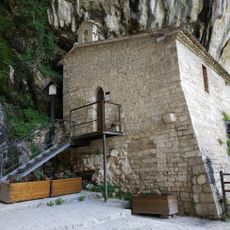
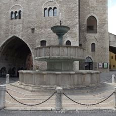
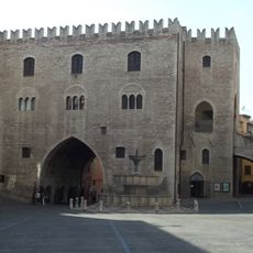
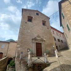
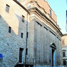
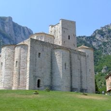
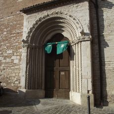
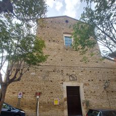
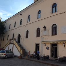
The stone villages of Genga were built directly from the local limestone, and this gives the buildings a look that blends naturally into the surrounding rock. Walking through the narrow lanes, visitors notice how the built fabric and the natural terrain feel like one continuous thing.
Genga is easiest to reach by car, as public transport connections to the area are limited. Because this is a small rural commune, it is worth checking ahead about shop and facility hours before planning a visit.
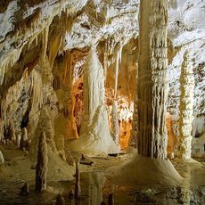
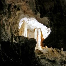
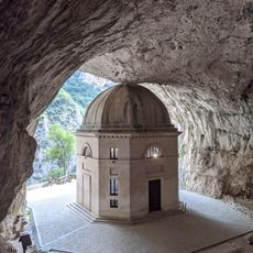
Beneath the villages of Genga runs a network of caves carved through the limestone over millions of years, shaping how water moves across the whole area. Some of these underground passages contain formations that took thousands of years to grow and can be visited on guided tours.
The community of curious travelers
AroundUs brings together thousands of curated places, local tips, and hidden gems, enriched daily by 60,000 contributors worldwide.