
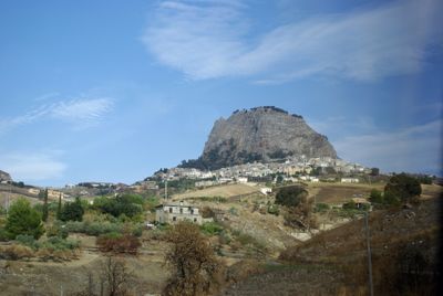
Sutera, Italian comune
Location: Free Municipal Consortium of Caltanissetta
Capital city: Sutera
Elevation above the sea: 590 m
Shares border with: Acquaviva Platani, Bompensiere, Campofranco, Casteltermini, Milena, Sicily, Mussomeli
Website: http://comune.sutera.cl.it
GPS coordinates: 37.52440,13.73528
Latest update: March 5, 2025 14:05
Teatro Andromeda
23.9 km
Farm Cultural Park
24.5 km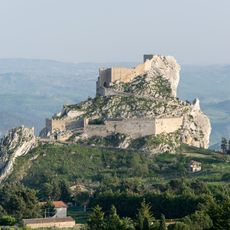
Castle of Mussomeli
6.7 km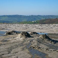
Macalube
20.5 km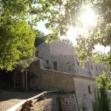
Eremo di Santa Rosalia alla Quisquina
21.1 km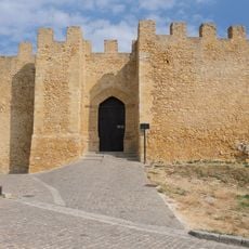
Castle of Naro
25.7 km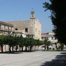
Castello Chiaramonte
24.2 km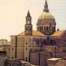
Madonna Assunta, chiesa Madre
24.4 km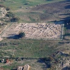
Vassallaggi
19.7 km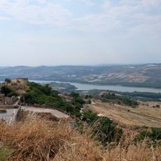
Lago San Giovanni
24 km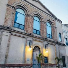
Teatro Regina Margherita
12.9 km
Polizzello archaeological site
12.2 km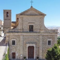
San Nicola di Bari
14.8 km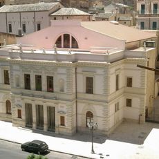
Teatro Sociale
20.8 km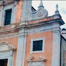
Chiesa di Santa Oliva
22.4 km
Castello di Raffadali
22.2 km
Chiesa Madre di San Leonardo Abate
14.9 km
Necropolis of contrada Stefano
23.8 km
Chiesa Madre
24.2 km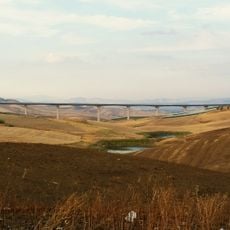
Serra Cazzola viaduct
16.5 km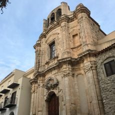
Chiesa di San Giuseppe
22.4 km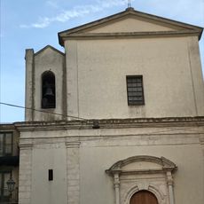
Chiesa di Santa Maria del Rosario
22.2 km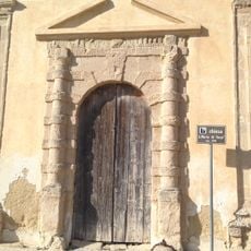
Santa Maria di Gesù
12.5 km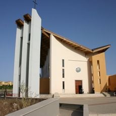
Chiesa San Calogero
20.6 km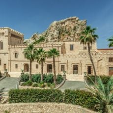
Joppolo Castle
22.2 km
Museo Etno-antropologico
120 m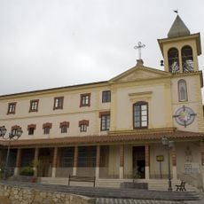
Chiesa Madonna della Rocca
20.7 km
Museo etnografico della civiltà contadina
17.7 kmVisited this place? Tap the stars to rate it and share your experience / photos with the community! Try now! You can cancel it anytime.
Discover hidden gems everywhere you go!
From secret cafés to breathtaking viewpoints, skip the crowded tourist spots and find places that match your style. Our app makes it easy with voice search, smart filtering, route optimization, and insider tips from travelers worldwide. Download now for the complete mobile experience.

A unique approach to discovering new places❞
— Le Figaro
All the places worth exploring❞
— France Info
A tailor-made excursion in just a few clicks❞
— 20 Minutes