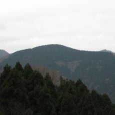
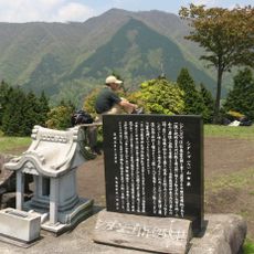
Mount Hiru, Mountain peak in Midori-ku, Japan
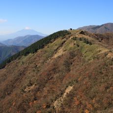
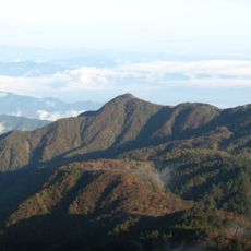
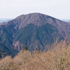
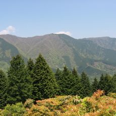
Mount Hiru is the highest peak of the Tanzawa Mountains, 1,673 m tall, on the boundary between Midori-ku in Sagamihara and Yamakita in Kanagawa Prefecture, within Tanzawa-Ōyama Quasi-National Park. Three ridges leave the summit: the Tanzawa Main Ridge westward and the Tanzawa Main Range north and south. The summit hut, Hirugatake Sansō, opened in 1961 at the 1,672 m point.
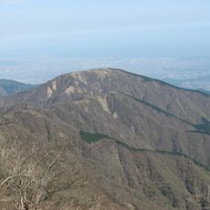
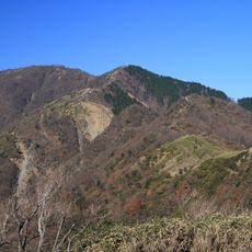
Mount Hiru's summit area was struck by surface landslides after the 1923 Great Kantō earthquake, and photographs of the whitened, vegetation-stripped ridge between Hiru and Mount Hikihoro document the damage across the Tanzawa range. From the 1980s, beech trees near the summit began dying back, linked in part to acid rain. The Hirugatake Sansō mountain hut opened on the summit in 1961.
The name Hiru-ga-take has several proposed origins: the many mountain leeches (yama-biru) on its slopes, or the peak's shape resembling a hunter's hood (hiru). The mountain is also called Yakushi-dake and Biru-ga-take. Near the 1,672 m summit mark stands Hiru-ga-take Sansō, a mountain hut opened in 1961, run by the Kitatanazawa Mountain Centre and open all year.
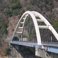
The shortest standard approach starts at the Hiramaru bus stop, where the signposted time to the summit is 5 hours 00 minutes, the fastest of the general trails. Other day-hike options run from Aone via the Tokai Nature Trail sub-route, or from Shiomizu Bridge over the Tennōji ridge past Mount Tanzawa; all suit experienced hikers. The summit hut, open all year, takes bookings for overnight stays.
The mountain's name comes from the Japanese word for leech (hiru): one explanation is that the slopes are thick with yamabiru, land leeches that latch onto passing hikers. Another holds that the summit's shape resembles a hunter's hood, also called hiru.
The community of curious travelers
AroundUs brings together thousands of curated places, local tips, and hidden gems, enriched daily by 93,127 contributors worldwide.