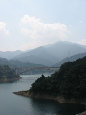
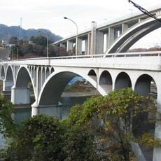
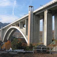
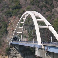
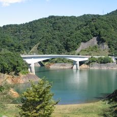
Nijino Bridge, Concrete bridge in Kiyokawa-mura, Japan
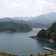
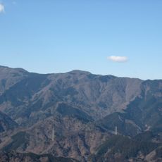
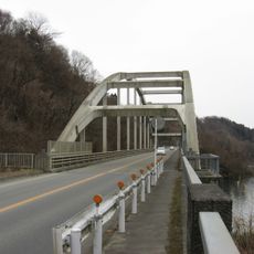
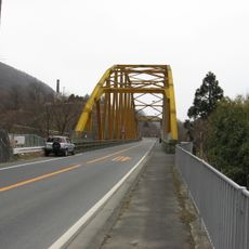
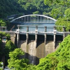
Nijino Bridge is a concrete bridge in Kiyokawa-mura that crosses a deep mountain valley in Kanagawa prefecture. It carries traffic on Prefectural Road 64 and serves as a key crossing point for the surrounding area.
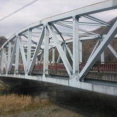
The bridge was completed in 1985 as an important infrastructure project for the mountainous region. It significantly improved transportation connections between the isolated communities in the Kiyokawa area.
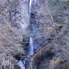
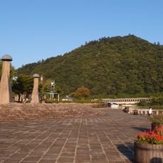
The bridge's name references a natural phenomenon and reflects how the local area connects its infrastructure to the surrounding landscape. This naming tradition shows the relationship between human-made structures and nature in the region.
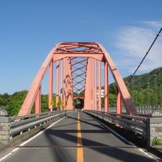
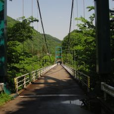
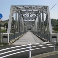
The bridge is well-developed for crossing, with protective barriers along its full length to ensure safety. Visitors should be aware that this is an active roadway and traffic can be expected during travel times.
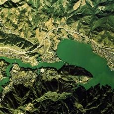
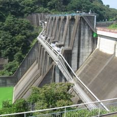
Signs along the route direct visitors to report any unusual activities near the dam structure below the bridge. This signage reflects the bridge's role within the wider water management system of the region.
The community of curious travelers
AroundUs brings together thousands of curated places, local tips, and hidden gems, enriched daily by 60,000 contributors worldwide.