Enable Location

We need your location to show you interesting places around you

Discover nearby places

Find interesting locations and hidden gems around you

Precise directions

Get accurate directions and distances to places

Your location is never shared with other users. It's only used when you tap the location button.

Kita-ku

Log in to your account

Start exploring — it's free

Trusted by 63,103 travelers worldwide

Continue with Google
Continue with Apple
or

We will send you a code to connect

By continuing, you accept our Terms and Conditions and our Privacy Policy

Check your inbox

We've sent a pincode in your inbox. Please enter the code below.

Discussion Reviews 2 Photos
112k Popularity

Kita-ku, Special ward in Tokyo, Japan

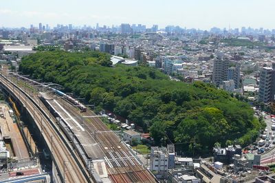
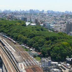
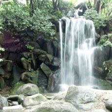
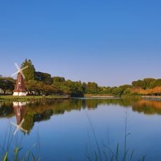
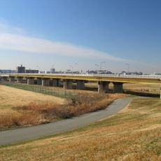
Kita-ku is an administrative ward in the northern part of the metropolis, stretching along four waterways: the Arakawa, Shakujii, Shingashi, and Sumida. The area covers roughly 20 square kilometers (about 8 square miles) and connects residential neighborhoods with historic sites and parks.

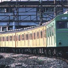
The ward was formed in 1947 by merging the former Oji and Takinogawa Wards after the Second World War. The region developed rapidly from rural villages into an urban area starting in the 1880s, when the first railway station enabled access to the capital.

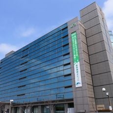
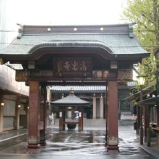
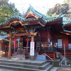
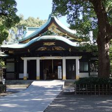
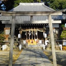
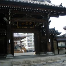
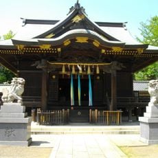
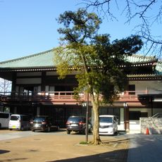
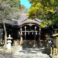
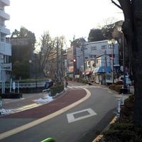
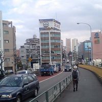
The name Kita simply means North, reflecting the ward's position in the northern part of the capital. Along the four rivers, residential neighborhoods have developed over decades where families live and work, while the old gardens and shrines remain places of quiet retreat.

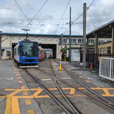
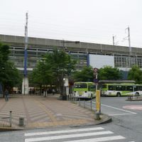
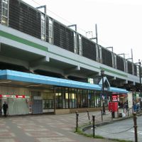
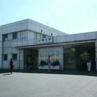
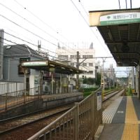
Several railway lines cross the ward and connect it to the center and neighboring areas, with Akabane and Tabata serving as major transfer stations. The paths along the rivers are good for walking and offer orientation through the different neighborhoods.

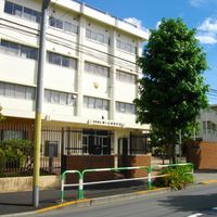
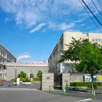
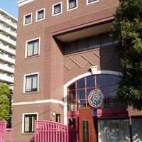
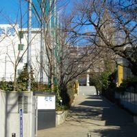
Two international schools are located here: the French lycée and a Korean high school, serving students from different countries. These institutions bring a multicultural dimension to an otherwise mostly Japanese residential area.

The community of curious travelers

AroundUs brings together thousands of curated places, local tips, and hidden gems, enriched daily by 60,000 contributors worldwide.

Start exploring
Location
Inception
March 15, 1947
Reference
131172
Part of
ward area of Tokyo, Tokyo
Shares border with
Bunkyo, Toshima-ku, Itabashi-ku, Arakawa-ku, Adachi-ku, Kawaguchi, Toda
GPS coordinates
35.75281,139.73356
Latest update
December 15, 2025 01:09
Reviews
Share your experience

No review yet

Discussions
Start a discussion...

No discussion yet

« Kita-ku - Special ward in Tokyo, Japan » is provided by Around Us (aroundus.com). Images and texts are derived from Wikimedia project under a Creative Commons license. You are allowed to copy, distribute, and modify copies of this page, under the conditions set by the license, as long as this note is clearly visible.

Discover hidden gems everywhere you go!

From secret cafés to breathtaking viewpoints, skip the crowded tourist spots and find places that match your style. Our app makes it easy with voice search, smart filtering, route optimization, and insider tips from travelers worldwide. Download now for the complete mobile experience.

Around Us App Screenshot

A unique approach to discovering new places

Le Figaro

All the places worth exploring

France Info

A tailor-made excursion in just a few clicks

20 Minutes

Around Us
Travel Guide & Maps
Download

Send to your phone

QR Code
1

Open the camera app on your mobile.

2

Point at the QR code with your camera. A notification will appear.

3

Tap the notification to open the link.