Enable Location

We need your location to show you interesting places around you

Discover nearby places

Find interesting locations and hidden gems around you

Precise directions

Get accurate directions and distances to places

Your location is never shared with other users. It's only used when you tap the location button.

Log in to your account

Start exploring — it's free

Trusted by 62,932 travelers worldwide

Continue with Google
Continue with Apple
or

We will send you a code to connect

By continuing, you accept our Terms and Conditions and our Privacy Policy

Check your inbox

We've sent a pincode in your inbox. Please enter the code below.

Ashigarakami district
Discussion Reviews Photo
26.7k Popularity

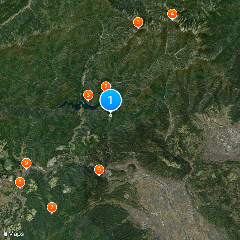
Ashigarakami district, Administrative district in western Kanagawa Prefecture, Japan

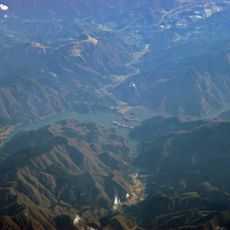
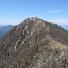
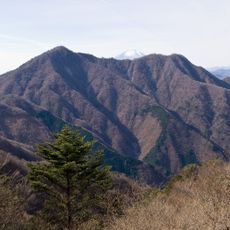
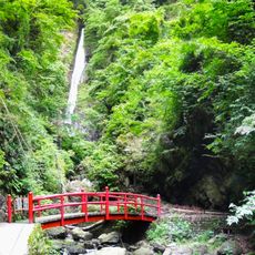
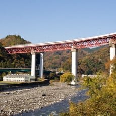
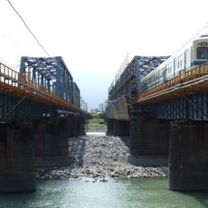
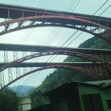
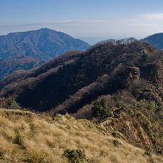
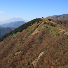
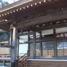
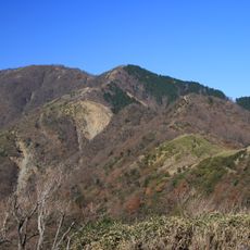
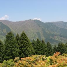
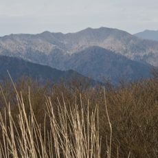
Ashigarakami is an administrative district in western Kanagawa Prefecture comprising five municipalities: Kaisei, Matsuda, Nakai, Oi, and Yamakita. The area is defined by mountains and partly encompasses the Tanzawa-Oyama Quasi-National Park, with natural forests and river valleys throughout.

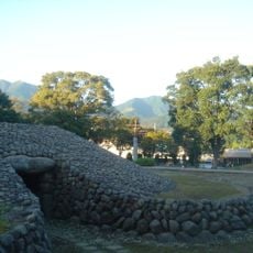
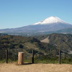
The district became an official part of Kanagawa Prefecture in 1878 following the Meiji Restoration, transitioning from the former Ashigara Prefecture. Earlier, portions fell under direct Tokugawa shogunate control after Mount Fuji eruptions during the Edo period altered the regional landscape.

The mountain communities here maintain traditional farming methods and crafts that have connected generations of inhabitants. Walking through the villages, you notice seasonal practices and local ways of living that still reflect life in the highlands.

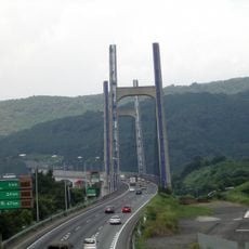
The five municipalities are connected by local roads and small train lines, making it easier to explore individual areas. The mountainous terrain means hiking and steep paths are common ways to discover the region.

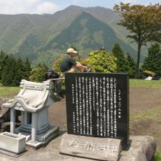
The region was long held as state land by the Tokugawa shogunate and served as a strategic buffer zone between rival feudal powers. This history left marks on the settlement patterns and local structures that visitors can still observe today.

The community of curious travelers

AroundUs brings together thousands of curated places, local tips, and hidden gems, enriched daily by 60,000 contributors worldwide.

Start exploring
Inception
July 22, 1878
GPS coordinates
35.40389,139.07389
Latest update
December 20, 2025 14:43
Reviews
Share your experience

No review yet

Discussions
Start a discussion...

No discussion yet

« Ashigarakami district - Administrative district in western Kanagawa Prefecture, Japan » is provided by Around Us (aroundus.com). Images and texts are derived from Wikimedia project under a Creative Commons license. You are allowed to copy, distribute, and modify copies of this page, under the conditions set by the license, as long as this note is clearly visible.

Discover hidden gems everywhere you go!

From secret cafés to breathtaking viewpoints, skip the crowded tourist spots and find places that match your style. Our app makes it easy with voice search, smart filtering, route optimization, and insider tips from travelers worldwide. Download now for the complete mobile experience.

Around Us App Screenshot

A unique approach to discovering new places

Le Figaro

All the places worth exploring

France Info

A tailor-made excursion in just a few clicks

20 Minutes

Around Us
Travel Guide & Maps
Download

Send to your phone

QR Code
1

Open the camera app on your mobile.

2

Point at the QR code with your camera. A notification will appear.

3

Tap the notification to open the link.