Enable Location

We need your location to show you interesting places around you

Discover nearby places

Find interesting locations and hidden gems around you

Precise directions

Get accurate directions and distances to places

Your location is never shared with other users. It's only used when you tap the location button.

Tenryu

Log in to your account

Start exploring — it's free

Trusted by 62,831 travelers worldwide

Continue with Google
Continue with Apple
or

We will send you a code to connect

By continuing, you accept our Terms and Conditions and our Privacy Policy

Check your inbox

We've sent a pincode in your inbox. Please enter the code below.

Tenryu

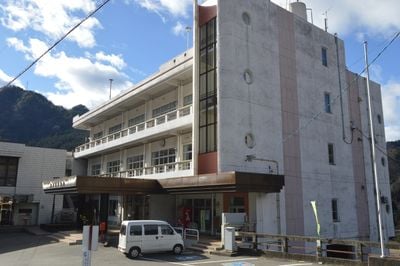
Tenryu, Mountain village in Shimoina District, Japan

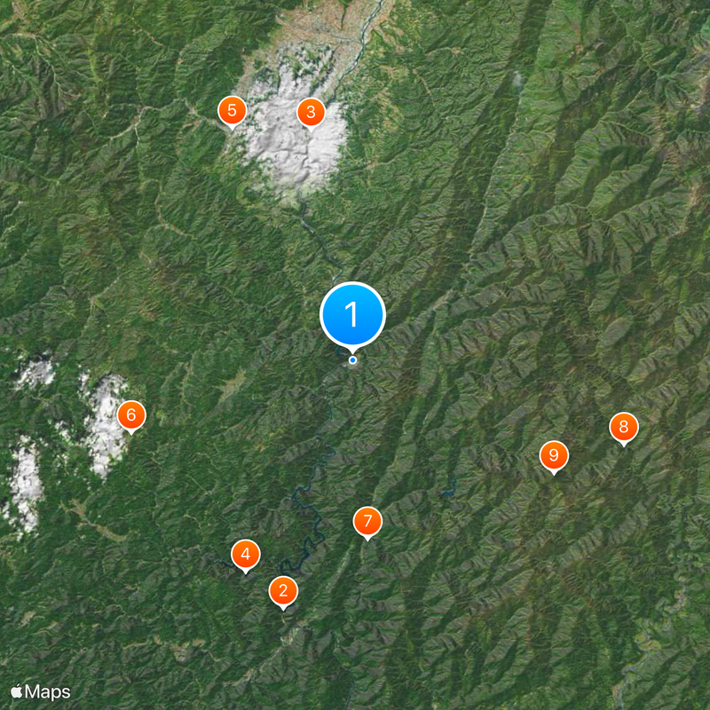
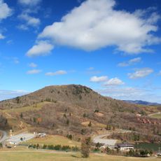
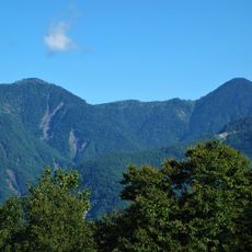
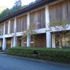
Tenryu is a mountain village in southern Nagano Prefecture that covers a large area where mountains and dense forests dominate the landscape. The settlement sits within rugged terrain fed by natural water sources that flow through the region.

The village was formed in 1956 through the merger of two smaller communities, Hiraoka and Kamihara. This administrative union created the foundation for the settlement as it exists today.

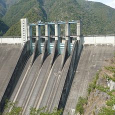
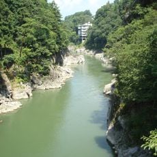
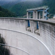
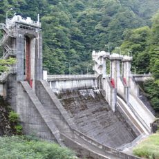
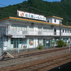
The village maintains strong ties to the Tenryu River, which flows through the mountains and shapes how people here spend their days. The waterway and surrounding land form the center of local life.

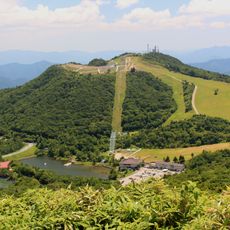
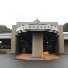
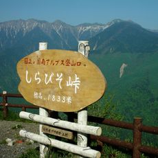
Visitors can use campgrounds and hiking trails to explore the mountainous surroundings. The best time to visit is outside the cold winter months when paths are more accessible.

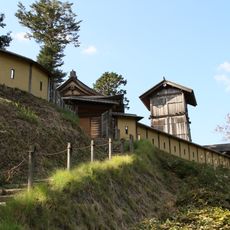
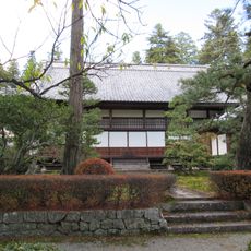
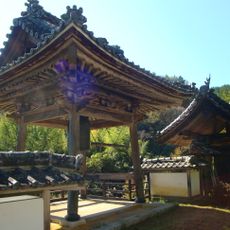
While the village has shrunk significantly over recent decades, visitors today can experience a place less developed for tourism than other Japanese mountain regions. This makes it a destination for those seeking authentic, less-visited Japanese landscapes.

The community of curious travelers

AroundUs brings together thousands of curated places, local tips, and hidden gems, enriched daily by 60,000 contributors worldwide.

Start exploring
Inception
September 30, 1956
Shares border with
Iida, Anan, Yasuoka, Toyone, Hamamatsu
GPS coordinates
35.27636,137.85422
Latest update
December 20, 2025 12:08
« Tenryu - Mountain village in Shimoina District, Japan » is provided by Around Us (aroundus.com). Images and texts are derived from Wikimedia project under a Creative Commons license. You are allowed to copy, distribute, and modify copies of this page, under the conditions set by the license, as long as this note is clearly visible.

Discover hidden gems everywhere you go!

From secret cafés to breathtaking viewpoints, skip the crowded tourist spots and find places that match your style. Our app makes it easy with voice search, smart filtering, route optimization, and insider tips from travelers worldwide. Download now for the complete mobile experience.

Around Us App Screenshot

A unique approach to discovering new places

Le Figaro

All the places worth exploring

France Info

A tailor-made excursion in just a few clicks

20 Minutes

Around Us
Travel Guide & Maps
Download

Send to your phone

QR Code
1

Open the camera app on your mobile.

2

Point at the QR code with your camera. A notification will appear.

3

Tap the notification to open the link.