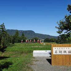
Kawaba, village in Tone district, Gunma prefecture, Japan
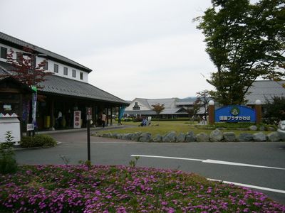
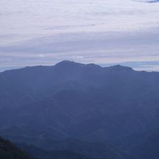
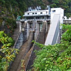
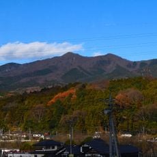
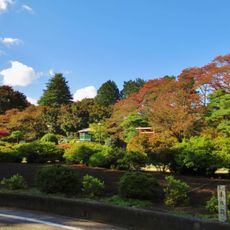
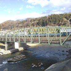
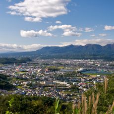
Kawaba is a small village at the foot of Mount Hotaka in Gunma Prefecture. It sits surrounded by green hills and clear rivers, with a central roadside station called Kawaba Denen Plaza offering restaurants, a bakery, and a brewery that all serve locally sourced food and drinks.
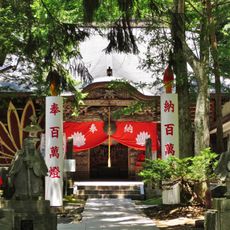
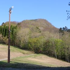
Kawaba developed as a farming community centered on rice growing and forestry over generations. The village has preserved its agricultural roots and now builds on this foundation by drawing visitors through agritourism and restaurants featuring local ingredients.
The village centers on farming and local food traditions that shape daily life. Walking through Kawaba, you notice how residents value their connection to the land and support small producers who work with regional ingredients.
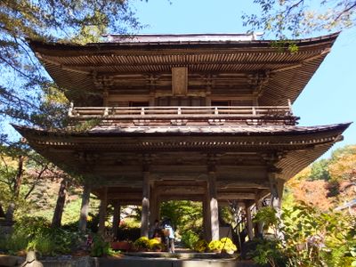
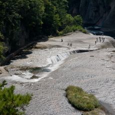
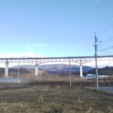
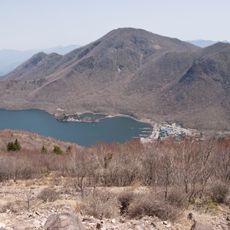
The village is easy to explore on foot with walking trails leading into the surrounding mountains and along rivers. Spring and autumn are the best times to visit, as the weather is mild and the landscape changes dramatically with the seasons.
A restaurant called Ventinove operates in the hills, run by a Tokyo-born chef trained in Italy who forages for wild mushrooms and black truffles from the surrounding forests. This unexpected blend of European cooking and local mountain ingredients offers visitors a unique dining experience that contrasts with the village's quiet rural character.
The community of curious travelers
AroundUs brings together thousands of curated places, local tips, and hidden gems, enriched daily by 60,000 contributors worldwide.