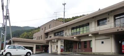
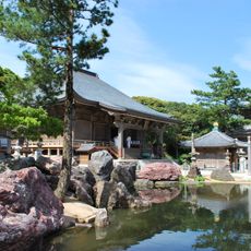
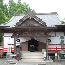
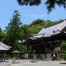
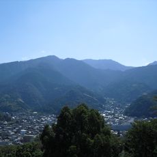
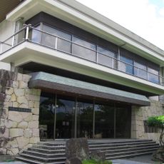
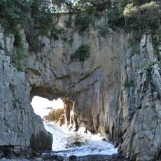
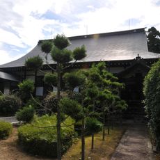
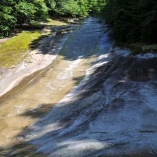
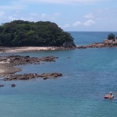
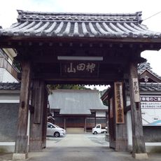
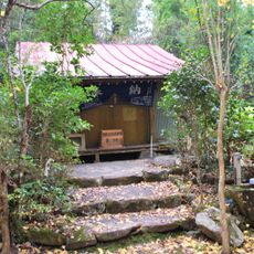
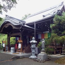
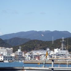
Mihara, village in Hata district, Kōchi prefecture, Japan
Location: Hata District
Inception: April 1, 1899
Shares border with: Shimanto, Sukumo, Tosashimizu
Website: http://vill.mihara.kochi.jp
GPS coordinates: 32.90617,132.84731
Latest update: March 24, 2025 22:13
Kongōfuku-ji
25.7 km
高知県宿毛市愛媛県南宇和郡愛南町篠山小中学校組合立篠山小学校・中学校
18.2 km
Iwamoto-ji
43 km
Shidenkai Museum
28.3 km
Enkou-ji
9.2 km
Kanjizai-ji
27.3 km
Kagomiri Castle
37.6 km
Ashizurimisaki Lighthouse
25.9 km
Ashizuri Underwater Observation Tower
13.4 km
Kaiyodo Hobby Museum Shimanto
33.1 km
宇和海展望タワー
28.1 km
Mount Onigajo
38.7 km
Kōchi Prefectural Ashizuri Aquarium Satoumi
12.9 km
Uwajima City Date Museum
43.5 km
Hakusan Dōmon
25.6 km
Dairyū-ji
42.7 km
Yukiwa Falls
37.7 km
The Aquarium of Shimantogawa River Osakanakan
38.2 km
Kan'yō Island
15.3 km
泰平寺
43.3 km
Shinnen-an
8 km
石見寺
14.2 km
Mount Ima
5.4 km
太平寺
12.3 km
Sukumo Resort Yashinoyu
14.8 km
Sukumo Shell Mound
12.8 km
鳳彩寺
11.7 km
Mount Sanbongui
37.1 kmReviews
Visited this place? Tap the stars to rate it and share your experience / photos with the community! Try now! You can cancel it anytime.
Discover hidden gems everywhere you go!
From secret cafés to breathtaking viewpoints, skip the crowded tourist spots and find places that match your style. Our app makes it easy with voice search, smart filtering, route optimization, and insider tips from travelers worldwide. Download now for the complete mobile experience.
A unique approach to discovering new places❞
— Le Figaro
All the places worth exploring❞
— France Info
A tailor-made excursion in just a few clicks❞
— 20 Minutes