Samani, town in Samani district, Hokkaido, Japan
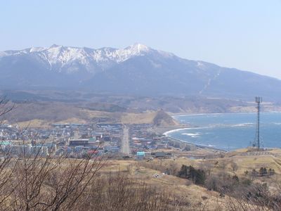
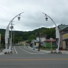
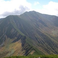
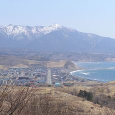
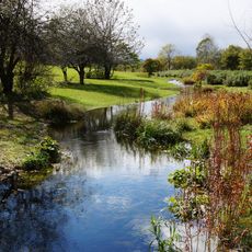
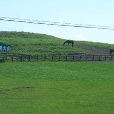
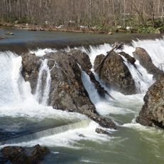
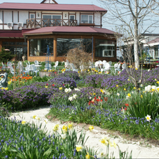
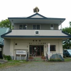
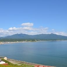
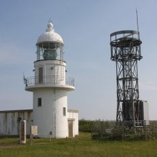
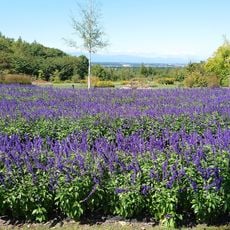
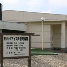
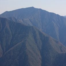
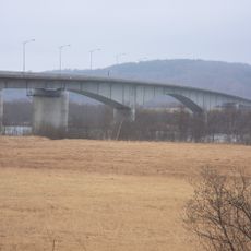
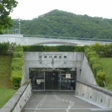
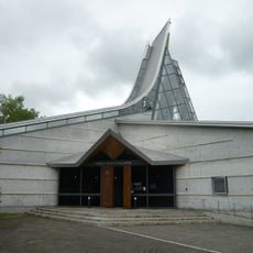
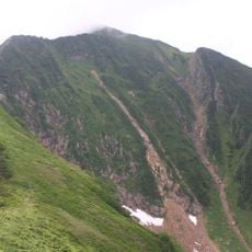
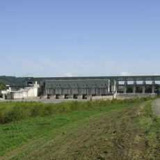
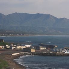
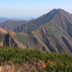
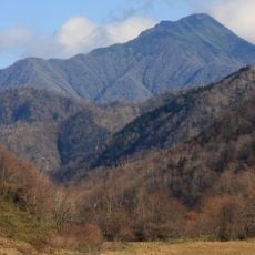
Samani is a town in the Samani district on Hokkaido island in Japan. The settlement spreads across rural areas with forests, grazing land, and a quiet landscape shaped by fishing and forestry industries.
Samani developed as a rural center in Hokkaido with focus on natural resources. The town maintained its character as a forest and fishing community over generations.
The area is relatively remote and has a quiet rural character, so a car is helpful to explore the surroundings. Winter weather can be harsh, so proper gear is recommended.
The community of curious travelers
AroundUs brings together thousands of curated places, local tips, and hidden gems, enriched daily by 60,000 contributors worldwide.
Location
Inception
April 1, 1906
Shares border with
Urakawa, Erimo, Hiroo
Website
GPS coordinates
42.12783,142.93367
Latest update
December 14, 2025 17:20