Tatsugo, town in Oshima District, Kagoshima Prefecture, Japan
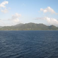
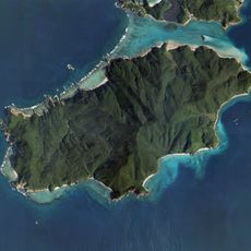
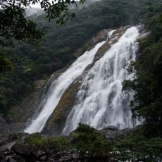
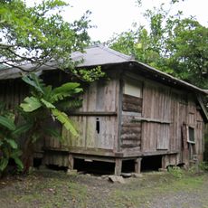
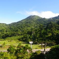
Tatsugo is a small town on Amami Oshima in Oshima District on the southern coast of Japan. It features quiet streets, simple houses, and small shops where people work in fishing, farming, or local crafts.
Tatsugo was officially established as a village in 1908 and became a town in 1975. After World War II, the area fell under American control for several years, a period that remains part of local memory and stories.
The name Tatsugo connects to the local silk weaving tradition of Oshima tsumugi, which artisans have practiced here for many years. In workshops throughout the town, you can watch weavers create patterns inspired by nature, using techniques passed down through generations to make fabric for traditional kimono.
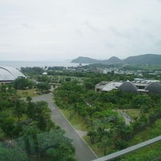
The town is easy to reach via Japan National Route 58, with buses connecting it to larger nearby cities. Basic shops serve daily needs, and accommodation ranges from small inns to guesthouses to suit different budgets.
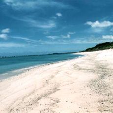
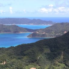
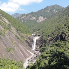
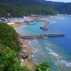
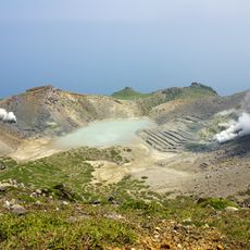
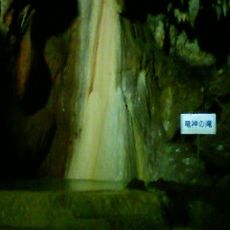
The area is known for white sand beaches like Yurigahama, famous for calm, mirror-like waters that look like a tiny island. Visitors also discover Shoryu Cave, one of Japan's largest limestone caves with wide chambers and signs of historic human use extending deep underground.
The community of curious travelers
AroundUs brings together thousands of curated places, local tips, and hidden gems, enriched daily by 60,000 contributors worldwide.