Enable Location

We need your location to show you interesting places around you

Discover nearby places

Find interesting locations and hidden gems around you

Precise directions

Get accurate directions and distances to places

Your location is never shared with other users. It's only used when you tap the location button.

Hirono

Log in to your account

Start exploring — it's free

Trusted by 63,936 travelers worldwide

Continue with Google
Continue with Apple
or

We will send you a code to connect

By continuing, you accept our Terms and Conditions and our Privacy Policy

Check your inbox

We've sent a pincode in your inbox. Please enter the code below.

Discussion Reviews 1 Photos
18.7k Popularity

Hirono, town in Futaba district, Fukushima prefecture, Japan

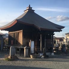
Hirono is a small town in Fukushima Prefecture located along the Pacific coast with around 5,000 residents and a quiet, rural character. The town spans about 58 square kilometers and is defined by rice fields, forested areas, and the nearby shoreline, with a mild climate and a relaxed pace of daily life.

The town was established in 1940 and maintained its rural traditions through the decades despite modernization. A major turning point came in 2011 when an earthquake and tsunami struck, followed by a nearby nuclear accident that led to evacuation and years of cleanup and rebuilding efforts.

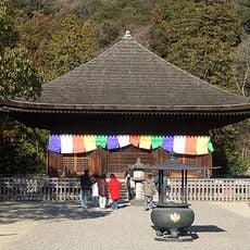
The town's symbols reflect its bond with nature: the cherry blossom as the official tree and the Japanese white-eye as the town bird. These represent how residents connect with seasonal changes and maintain their rural identity through local celebrations.

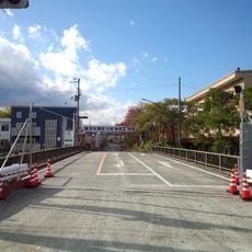
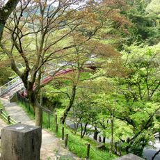
The best way to explore the town is on foot using the various walking paths, particularly the Kaze no Torimichi, a 4.1-kilometer route that takes about an hour and a half to complete. The paths are accessible and pass through rice fields and along the river, so visitors should wear appropriate footwear and consider the changing seasons when planning a visit.

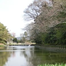
One distinctive feature is the Ashiato no Michi, a path along the Asami River where footprints are pressed into concrete and remain preserved to this day. Local people appreciate this small mystery and enjoy reminiscing about the puzzle of these past steps captured in the landscape.

The community of curious travelers

AroundUs brings together thousands of curated places, local tips, and hidden gems, enriched daily by 60,000 contributors worldwide.

Start exploring
Location
Inception
April 1, 1889
Shares border with
Iwaki, Naraha
GPS coordinates
37.21453,140.99444
Latest update
February 16, 2026 23:20
Reviews
Share your experience

No review yet

Discussions
Start a discussion...

No discussion yet

« Hirono - town in Futaba district, Fukushima prefecture, Japan » is provided by Around Us (aroundus.com). Images and texts are derived from Wikimedia project under a Creative Commons license. You are allowed to copy, distribute, and modify copies of this page, under the conditions set by the license, as long as this note is clearly visible.

Discover hidden gems everywhere you go!

From secret cafés to breathtaking viewpoints, skip the crowded tourist spots and find places that match your style. Our app makes it easy with voice search, smart filtering, route optimization, and insider tips from travelers worldwide. Download now for the complete mobile experience.

Around Us App Screenshot

A unique approach to discovering new places

Le Figaro

All the places worth exploring

France Info

A tailor-made excursion in just a few clicks

20 Minutes

Around Us
Travel Guide & Maps
Download

Send to your phone

QR Code
1

Open the camera app on your mobile.

2

Point at the QR code with your camera. A notification will appear.

3

Tap the notification to open the link.