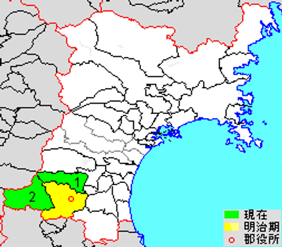
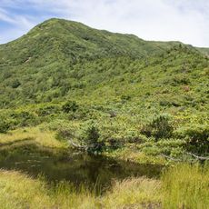
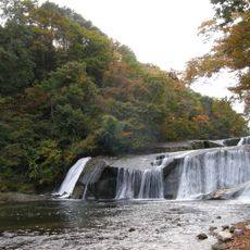
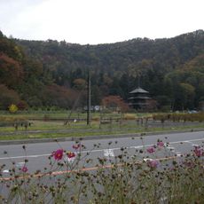
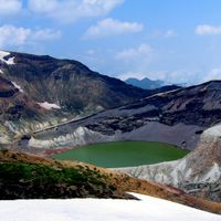
Katta district, district in Miyagi prefecture, Japan
Location: Miyagi Prefecture
Inception: October 21, 1878
Elevation above the sea: 724 m
GPS coordinates: 38.05500,140.43700
Latest update: March 11, 2025 17:32
Shiroishi Castle
16.8 km
Zaō Onsen
13.1 km
Miyagi Zao Fox Village
8.3 km
Kaminoyama Castle
18.1 km
山形テルサ
23.6 km
大聖寺
23.2 km
Daiei Yamagata
23.2 km
Motoki Stone Torii
21.5 km
Atsukashiyama Barrier
21.8 km
Senshō-ji
23.3 km
Sankai Falls
12 km
光禪寺
22.3 km
Yamagata city library
22.3 km
Byōbu Dake
5.7 km
Nametsu Falls
5.7 km
Kaisendō
17.4 km
Yamagata Wild Flower Park
23 km
Aone Western-style House
13.3 km
延命寺
17.3 km
Yamagata Creative City Center Q1
23.5 km
Ukitamu Fudoki no Oka Archaeological Museum
20.2 km
Tokiwa bridge
21.3 km
山形大橋
22.8 km
Mahoroba Inishie no Sato Historical Park
20.2 km
Yamagata City Industrial History Museum
23.4 km
Ichinosawa Caves
18.1 km
Ōdachi Caves
20.4 km
Hibakoiwa Caves
19.4 kmReviews
Visited this place? Tap the stars to rate it and share your experience / photos with the community! Try now! You can cancel it anytime.
Discover hidden gems everywhere you go!
From secret cafés to breathtaking viewpoints, skip the crowded tourist spots and find places that match your style. Our app makes it easy with voice search, smart filtering, route optimization, and insider tips from travelers worldwide. Download now for the complete mobile experience.
A unique approach to discovering new places❞
— Le Figaro
All the places worth exploring❞
— France Info
A tailor-made excursion in just a few clicks❞
— 20 Minutes