Enable Location

We need your location to show you interesting places around you

Discover nearby places

Find interesting locations and hidden gems around you

Precise directions

Get accurate directions and distances to places

Your location is never shared with other users. It's only used when you tap the location button.

Log in to your account

Start exploring — it's free

Trusted by 62,585 travelers worldwide

Continue with Google
Continue with Apple
or

We will send you a code to connect

By continuing, you accept our Terms and Conditions and our Privacy Policy

Check your inbox

We've sent a pincode in your inbox. Please enter the code below.

Nakaniikawa district

Nakaniikawa district, Administrative district in Toyama Prefecture, Japan

Nakaniikawa district spreads across a large area in Toyama Prefecture and comprises several smaller administrative units including two towns and one village. The region forms a connected landscape where mountains and valleys create the natural geography.

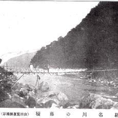
The district formed in 1896 when an existing administrative region was divided, originally containing far more towns and villages than today. Over time, mergers and reorganizations reshaped the area into its current structure.

Local communities celebrate seasonal festivals throughout the year that connect them to traditional Japanese customs. These gatherings shape the rhythm of daily life across the neighborhoods.

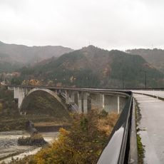
The area is best explored by car or local transport since the municipalities are connected by good road networks. A flexible itinerary works well for visiting different villages and natural areas at your own pace.

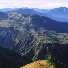
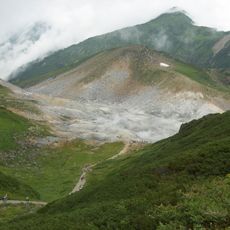
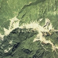
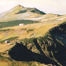
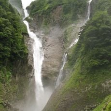
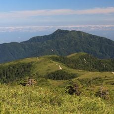
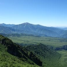
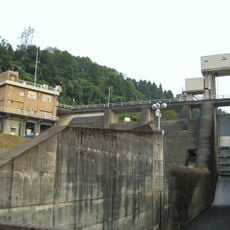
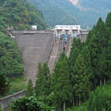
The district borders the Tateyama mountain range and provides access to a famous alpine railway that winds through high mountain scenery. This route connects valleys and peaks through dramatic terrain that draws visitors interested in mountain landscapes.

The community of curious travelers

AroundUs brings together thousands of curated places, local tips, and hidden gems, enriched daily by 60,000 contributors worldwide.

Start exploring
Inception
April 1, 1896
GPS coordinates
36.63200,137.50200
Latest update
December 7, 2025 20:46
Administrative divisions
« Nakaniikawa district - Administrative district in Toyama Prefecture, Japan » is provided by Around Us (aroundus.com). Images and texts are derived from Wikimedia project under a Creative Commons license. You are allowed to copy, distribute, and modify copies of this page, under the conditions set by the license, as long as this note is clearly visible.

Discover hidden gems everywhere you go!

From secret cafés to breathtaking viewpoints, skip the crowded tourist spots and find places that match your style. Our app makes it easy with voice search, smart filtering, route optimization, and insider tips from travelers worldwide. Download now for the complete mobile experience.

Around Us App Screenshot

A unique approach to discovering new places

Le Figaro

All the places worth exploring

France Info

A tailor-made excursion in just a few clicks

20 Minutes

Around Us
Travel Guide & Maps
Download

Send to your phone

QR Code
1

Open the camera app on your mobile.

2

Point at the QR code with your camera. A notification will appear.

3

Tap the notification to open the link.