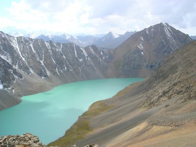
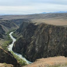
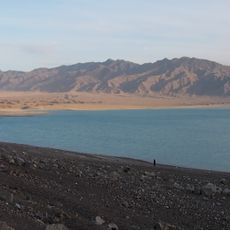
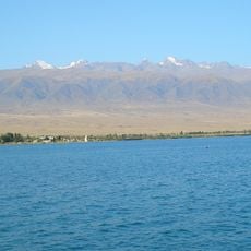
Ala-Kul, Alpine lake in Issyk-Kul Region, Kyrgyzstan.
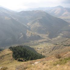
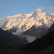
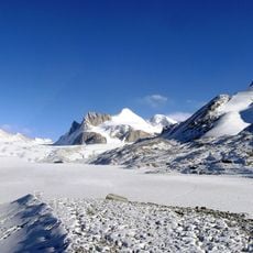
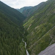
Ala-Kul is an alpine lake in the Issyk-Kul Region, situated at high elevation on a mountain plateau surrounded by steep slopes. The waters are held by a natural rock formation, creating an elongated body of water set within the valley between towering peaks.
The lake was first documented in 1811 when Russian explorer Putimtsoff reached the area during an expedition to the region. About thirty years later, Alexander von Schrenk conducted a more thorough exploration and survey of the lake and surrounding mountain terrain.
The name comes from the Kyrgyz language and means "variegated lake," referencing the different-colored rocks visible throughout its waters. Visitors often notice these colored stone formations while walking around the shoreline.
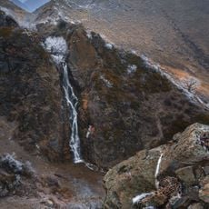
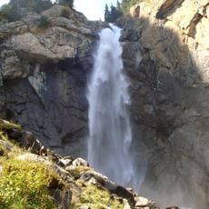
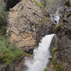
Access to the lake involves multi-day hikes through the mountain terrain with overnight stays at yurt camps positioned along the route. Visitors should prepare for uneven ground, changing weather conditions, and the effects of high altitude on their bodies.
The water of the lake shifts through different colors during the day, caused by light reflection on mineral deposits on the lake floor. This color-changing effect becomes most noticeable during early morning and late afternoon hours when the sun hits the water at a lower angle.
The community of curious travelers
AroundUs brings together thousands of curated places, local tips, and hidden gems, enriched daily by 60,000 contributors worldwide.