Tonlé Sap, Freshwater lake in northwestern Cambodia
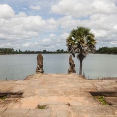
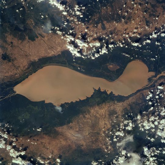
Tonlé Sap is a lake in northwestern Cambodia connected to the Mekong by the 120 km Tonlé Sap River. In the dry season it covers about 2,600–3,000 km² at a depth of 2–3 m; from June the Mekong's flood reverses the river and the lake grows to roughly 10,400 km² and up to 14 m deep, peaking in September.
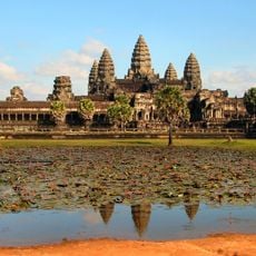
The lake is the remnant of a gulf of the lower Mekong plain that flooded when sea levels rose about 4.5 m in the early Holocene; cores near Angkor hold tidal and mangrove sediments. Sediments dated 7,900–7,300 years ago in the lake also show marine influence. The basin still subsides, more in the south than the northwest, tilting it southward. The Khmer kingdoms centred at Angkor, a few kilometres north, depended on its water and fish.
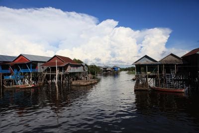
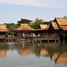
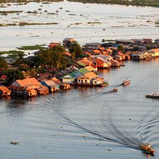
Many of the lake's fishers are ethnic Vietnamese who fled to Vietnam during the Khmer Rouge years of 1975–1979 and returned afterwards; about 80,000 people live in floating villages whose layout shifts with the water. At the end of the rice season, villagers repair or build dugout canoes at riverside temples for the Bon Om Touk boat races, which celebrate the naga serpent turning the lake's water back toward the sea.
Boat links run from Siem Reap to Phnom Penh and, via the Sangke River, to Battambang; roads now carry most goods and people. Water levels swing from about 1 m at the end of the dry season to 9–14 m in the flood, so houses on 6–7 m stilts are reached by boat in the wet months and by dirt paths in the dry. The lake is shallowest around April.
The lake's flood pulse feeds a fishery that supplies roughly half of Cambodia's inland catch and at least three-quarters of the protein eaten in the country. Around 1.2 million people live off its fish, and fermented fish paste, prahoc, is made from the surplus catch.
The community of curious travelers
AroundUs brings together thousands of curated places, local tips, and hidden gems, enriched daily by 94,022 contributors worldwide.