Preah Vihear Province, Northern province in Cambodia
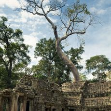
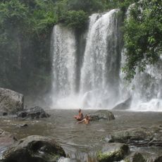
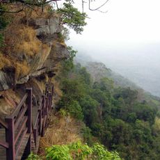
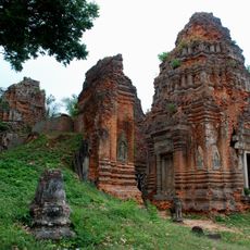
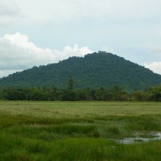
Preah Vihear is a northern province in Cambodia characterized by dense forests, hills, and ancient temple complexes spread across the landscape. The terrain is dominated by natural woodland and scattered stone structures that define the region's physical character.
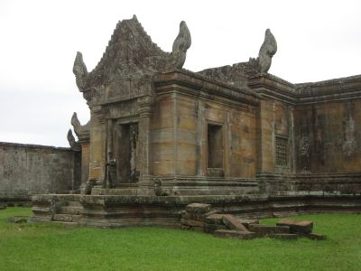
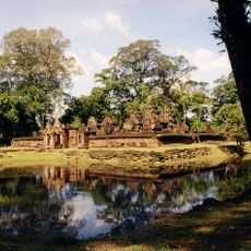
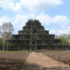
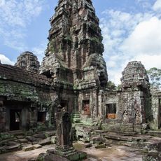
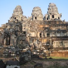
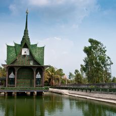
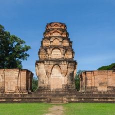
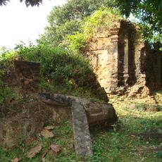
The province became officially established in 1964, though the area had long held temple structures from the Angkorian period, including Koh Ker, which served as a former Khmer capital. The region's ancient importance remains visible today through the ruins and sanctuaries scattered across its landscape.
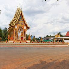
Religious sites dot the landscape, from Buddhist temples to ancient Hindu sanctuaries where traditional ceremonies still take place today. These spiritual places remain woven into the daily rhythm of local life and reflect layers of faith that have shaped the region over centuries.
Infrastructure is sparse and many roads remain unpaved, which can make travel through the area difficult. Visitors typically arrange transport with local drivers and should prepare for basic vehicle conditions.
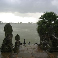
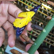
The region forms part of the Tonle Sap Biosphere Reserve, one of Asia's most important wetland ecosystems with significant ecological value. This reserve harbors diverse wildlife and bird species that are native to the area.
The community of curious travelers
AroundUs brings together thousands of curated places, local tips, and hidden gems, enriched daily by 60,000 contributors worldwide.