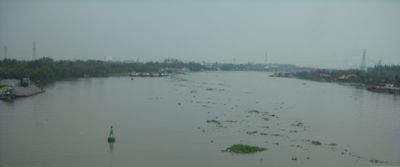
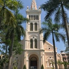
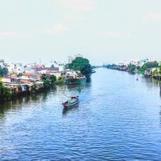
Vàm Cỏ Đông River, River system in southern Vietnam
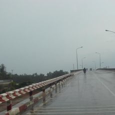
The Vàm Cỏ Đông River is a waterway that flows through southern Vietnam and Cambodia, winding through flat land dotted with rice fields and aquaculture ponds. It joins with the Vàm Cỏ Tây River in the Mekong Delta region and serves as a key irrigation source for farming communities.
This waterway formed as part of the natural Mekong water system and became central to the region's farming development. In the 20th century, it served as a transport route and helped define boundaries between different areas.
Local communities along the banks continue fishing practices that have been handed down through families, using simple nets and wooden boats. This way of working shapes daily life and connects people to the water in a deep way.
The river is best experienced during the dry season when water levels are lower and the banks are more visible. Access from towns in Tay Ninh and Long An provinces allows for boat rentals and waterside walks.
The name comes from a Khmer word referring to an old time when cattle roamed freely along the banks. This connection to the past shows in how local people still relate to the landscape today.
The community of curious travelers
AroundUs brings together thousands of curated places, local tips, and hidden gems, enriched daily by 60,000 contributors worldwide.