
Uiryeong County, administrative division of South Korea
Location: South Gyeongsang
Website: http://www.uiryeong.go.kr/english/
Website: http://uiryeong.go.kr/english
GPS coordinates: 35.31917,128.26111
Latest update: March 7, 2025 13:43
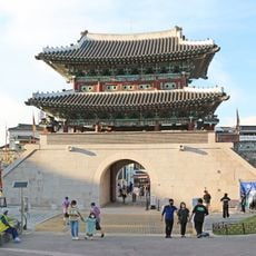
Jinju Fortress
21.8 km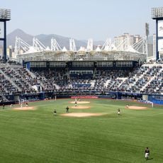
Masan Baseball Stadium
31.1 km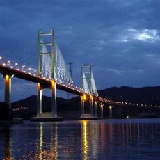
Machang Grand Bridge
35 km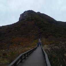
Hwangmaesan
32.5 km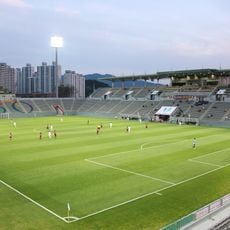
Changwon Football Center
41.8 km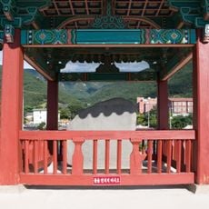
King Jinheung’s Cheokgyeongbi
33 km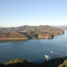
Jinyang Lake
26.5 km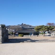
Jinju National Museum
22.1 km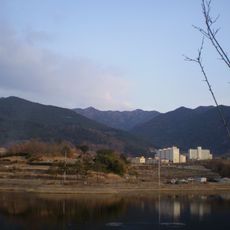
Hwawangsan
35.3 km
Jeodo Bridge
39.3 km
Jindong Formation
15.5 km
Goryeong Jisan-dong Tumuli
45.5 km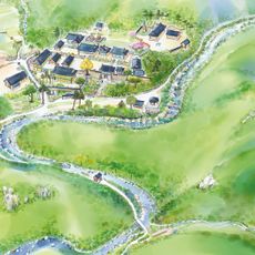
Daewonsa
41.4 km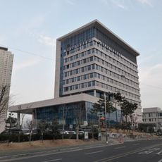
Gyeongnam Regional Government Complex
31.5 km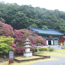
Banyasa
32.2 km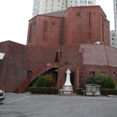
Yangduk Cathedral
30.5 km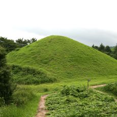
Haman Marisan Tumuli
14 km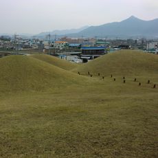
Goseong Songhak-dong Tumuli
38.1 km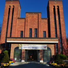
Sacred Heart Cathedral, Changwon
30.5 km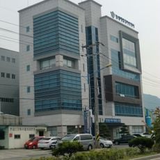
Changwon Coast Guard Station
33.2 km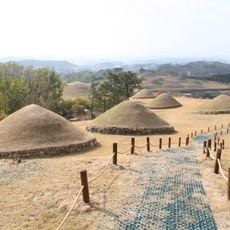
Changnyeong Gyo-dong and Songhyeon-dong Tumuli
33.5 km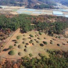
Hapcheon Okjeon Tumuli
29.3 km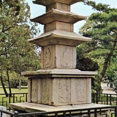
산청 범학리 삼층석탑
22 km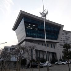
Masan Vessel Traffic Service Center
31.6 km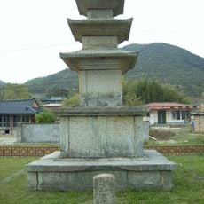
산청 단속사지 동 삼층석탑
32.8 km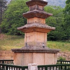
합천 영암사지 삼층석탑
29.1 km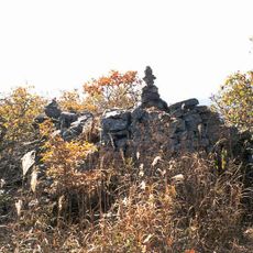
Haman Pasan Beacon Fire Tower
22.6 km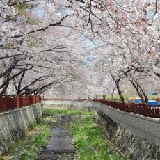
Gyeonghwa Station Cherry Blossom Road
42.6 kmReviews
Visited this place? Tap the stars to rate it and share your experience / photos with the community! Try now! You can cancel it anytime.
Discover hidden gems everywhere you go!
From secret cafés to breathtaking viewpoints, skip the crowded tourist spots and find places that match your style. Our app makes it easy with voice search, smart filtering, route optimization, and insider tips from travelers worldwide. Download now for the complete mobile experience.

A unique approach to discovering new places❞
— Le Figaro
All the places worth exploring❞
— France Info
A tailor-made excursion in just a few clicks❞
— 20 Minutes