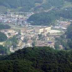
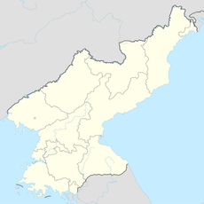
Cheorwon County, Historical county in Gangwon State, South Korea.
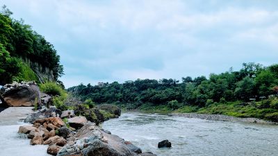
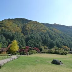
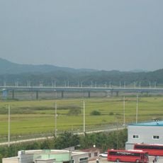
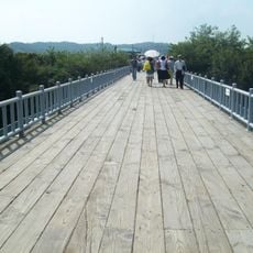
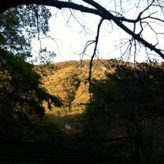
Cheorwon County sits directly on the border with North Korea, covering mountainous terrain with military installations and observation posts scattered throughout. The landscape shows clear signs of its strategic location and the ongoing security measures in place.
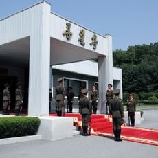
The original territory was divided in 1953 along the Military Demarcation Line, creating separate administrative areas in North and South Korea. This split fundamentally changed how the region developed and was governed on both sides.
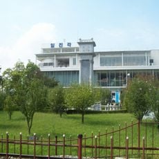
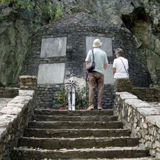
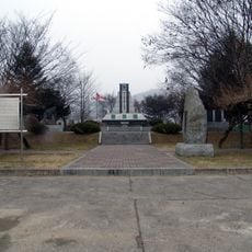
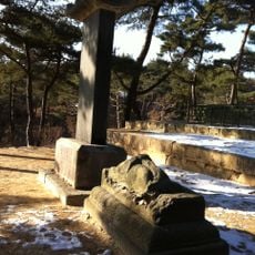
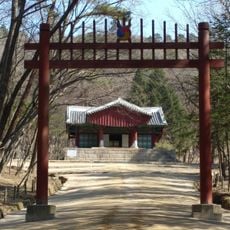
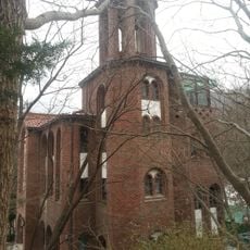
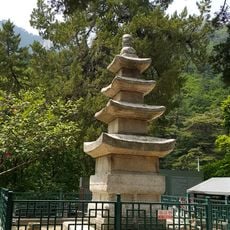
The communities here have adapted to life shaped by division and conflict, with local spaces reflecting how people remember and honor what happened. You can see this remembrance woven into the landscape through monuments and the way residents speak about their shared past.
Access to many areas requires a special permit and participation in guided tours within the Civilian Control Line. Plan visits ahead and check current conditions before arriving, as regulations can change.
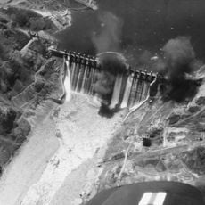
An underground tunnel discovered in 1975 runs beneath the border and reveals historical infiltration attempts from the north. This finding offers insight into the physical realities of the division and remains a striking reminder of past tensions.
The community of curious travelers
AroundUs brings together thousands of curated places, local tips, and hidden gems, enriched daily by 60,000 contributors worldwide.