Chest opened
+${chestReward.xp} XP
Explorer
NOUVEAU ×${chestReward.collectible.quantity}
tapez pour fermer

See the monuments around you in AR Open chests in the app

Around Us is built for your phone — point your camera at the streets and discover the monuments and places around you in augmented reality. Around Us is built for your phone — chests unlock when you walk, explore and capture nearby places.

•

Enable Location

We need your location to show you interesting places around you

Discover nearby places

Find interesting locations and hidden gems around you

Precise directions

Get accurate directions and distances to places

Your location is never shared with other users. It's only used when you tap the location button.

Dike Kokaral

Log in to your account

Start exploring — it's free

Trusted by 94,111 travelers worldwide

Continue with Google
Continue with Apple
or

We will send you a code to connect

By continuing, you accept our Terms and Conditions and our Privacy Policy

Check your inbox

We've sent a pincode in your inbox. Please enter the code below.

Dike Kokaral

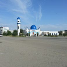
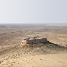
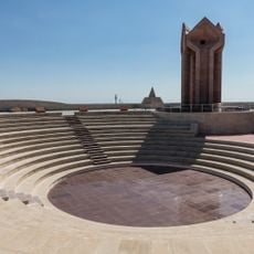
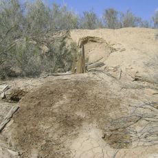
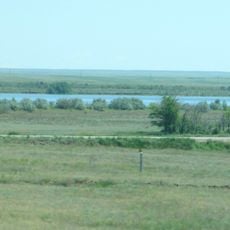
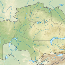
Dike Kokaral, Dam between North and South Aral Sea, Kazakhstan

Dike Kokaral is a barrier across a narrow section of the former Aral Sea in Central Asia, controlling water movement between the northern and southern areas. The structure spans several kilometers and uses sluice gates to manage water levels strategically.

The structure was completed in the early 2000s and aimed to solve water management problems that had troubled the region since the 1960s. The project with international support marked a turning point in addressing the Aral Sea's environmental crisis.

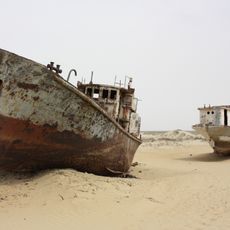
The dam takes its name from the Kokaral peninsula, an island until the 1960s that would have linked the dike to the opposite shore and divided the northern from the southern sea. Kazakhs call it Kökaral bögeti. Since the two seas no longer meet, the former island is simply a stretch of land.

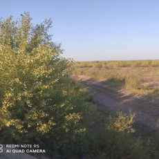
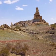
The dam lies near the Kokaral tract in the Aral District of Kazakhstan's Kyzylorda Region, on the road toward Aralsk. Its crest stands 6 m high (45.5 m above sea level) and carries a spillway with nine gates discharging up to 600 m³/s into the South Aral. The terrain is open desert with no shade, so carry water and sun protection.

Since its completion, fish populations have returned to the northern Aral Sea basin, a visible recovery of the local ecosystem. This biological return is evident in fishing activity and the livelihoods it supports in the region.

The community of curious travelers

AroundUs brings together thousands of curated places, local tips, and hidden gems, enriched daily by 94,111 contributors worldwide.

Start exploring
Location
Inception
2003
Official opening
2005
Length
13,034 m
GPS coordinates
46.09667,60.79306
Latest update
October 31, 2026 23:47
Reviews
Share your experience

No review yet

Discussions
Start a discussion...

No discussion yet

« Dike Kokaral - Dam between North and South Aral Sea, Kazakhstan » is provided by Around Us (aroundus.com). Images and texts are derived from Wikimedia project under a Creative Commons license. You are allowed to copy, distribute, and modify copies of this page, under the conditions set by the license, as long as this note is clearly visible.

Discover hidden gems everywhere you go!

From secret cafés to breathtaking viewpoints, skip the crowded tourist spots and find places that match your style. Our app makes it easy with voice search, smart filtering, route optimization, and insider tips from travelers worldwide. Download now for the complete mobile experience.
Around Us App Screenshot
❝

A unique approach to discovering new places❞

— Le Figaro

❝

All the places worth exploring❞

— France Info

❝

A tailor-made excursion in just a few clicks❞

— 20 Minutes

Around Us
Travel Guide & Maps
Download

Send to your phone

QR Code
1

Open the camera app on your mobile.

2

Point at the QR code with your camera. A notification will appear.

3

Tap the notification to open the link.