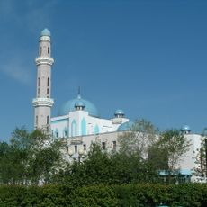
Mugalzhar, Mountain ridge in Aktobe Region, Kazakhstan
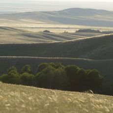
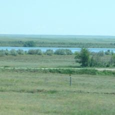
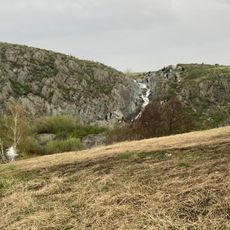
Mugalzhar is a mountain ridge system in Aktobe Region with two parallel crests stretching across roughly 200 kilometers. The terrain varies in elevation, with Mount Ulken Baktybay reaching 657 meters as the highest point, while the ridges separate the drainage basins of the Caspian and Aral Seas.
The rock formations date back to the Precambrian and Paleozoic eras and consist of sandstone, quartzite, schist, gneiss, and granite. This ancient geological story reveals that these mountains rank among the oldest structures in the region.
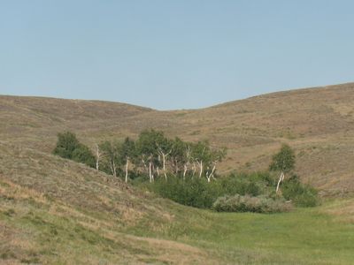
The hills served as grazing lands for herders and nomadic groups who moved with their animals through the valleys and across the slopes. The open landscape today still reflects how people have lived with this terrain for generations.
The terrain is open and unobstructed, giving hikers clear views and easy navigation throughout the area. Spring and autumn offer the most comfortable conditions, as temperatures remain mild and the landscape is easily explored on foot.
Between the two parallel ridges lies the Alabass Basin, a narrow geological corridor roughly 20 kilometers wide with its own distinct character. This passage became a natural route for people and animals crossing through the mountains.
The community of curious travelers
AroundUs brings together thousands of curated places, local tips, and hidden gems, enriched daily by 60,000 contributors worldwide.