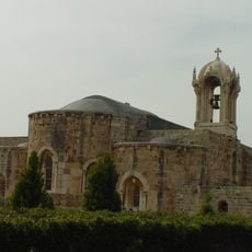
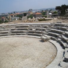
Theoprosopon, Ramsar wetland site in northern Lebanon.
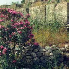
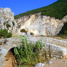
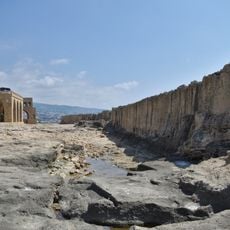
Theoprosopon is a rocky cape on northern Lebanon's Mediterranean coast between Batroun and Tripoli, rising roughly 300 meters (985 feet) above the water. The steep limestone cliffs form a distinctive barrier that interrupts the shoreline and dominate the landscape.
An earthquake in 551 caused a massive landslide that submerged the ancient coastal road, isolating Tripoli from neighboring settlements for centuries. This geological event fundamentally reshaped the region's trade routes and communication patterns.
The cape's name comes from the Greek term Theoprosopon, meaning 'Face of God', and later shifted to Lithoprosopon, or 'Face of Stone', reflecting how locals perceived the dramatic rock formations.
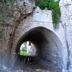
A modern coastal highway crosses the cape with two tunnels that bypass the steepest sections. Visitors should know that while the cliffs are visible from the road, access to the sensitive wetland areas may be restricted.
The Deir el Nouriyeh cliffs function as internationally recognized wetlands that host dozens of rare bird and plant species. This coastal area also serves as a critical stopover point for migratory birds traveling between Africa and Europe.
The community of curious travelers
AroundUs brings together thousands of curated places, local tips, and hidden gems, enriched daily by 60,000 contributors worldwide.