Vavuniya, human settlement
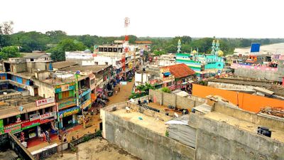
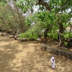
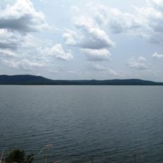
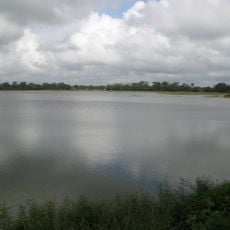
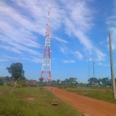
Vavuniya is a town in northern Sri Lanka that connects the north with the rest of the country, marked by small roads, local markets, and everyday buildings. The place has a warm, dry climate with green spaces and open areas that blend into surrounding fields and streams.
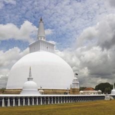
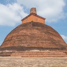
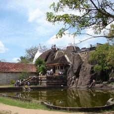
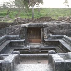
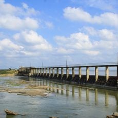
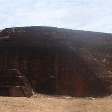
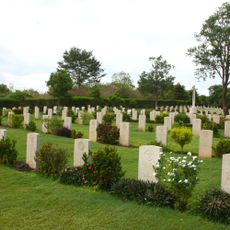
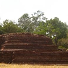
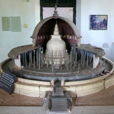
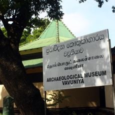
The town developed as a vital link between northern and southern regions of Sri Lanka, playing a role in the movement of people and goods. Archaeological sites nearby, such as the Iru Pothana ruins, show that the area has been inhabited since ancient times.
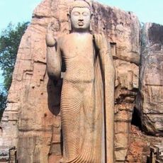
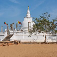
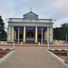
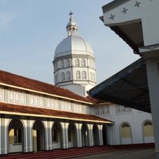
Vavuniya displays a diverse religious landscape where temples, mosques, and shrines sit alongside each other, reflecting how different communities coexist in daily life. These places shape local habits and bring people together during festivals and everyday moments.
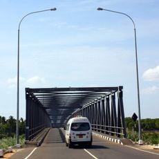
Visitors can reach the town by train, car, or air, as it has transport connections and a local airport. Tuk-tuks are the easiest way to move around the streets, and guesthouses or small hotels offer basic lodging after a day of exploring.
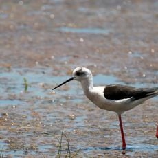
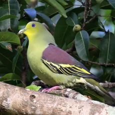
The town sits just one hour's drive from Wilpattu National Park, where visitors can see leopards, elephants, and sloth bears in their natural environment. This protected area is also home to an impressive variety of bird species that regularly draw nature enthusiasts.
The community of curious travelers
AroundUs brings together thousands of curated places, local tips, and hidden gems, enriched daily by 60,000 contributors worldwide.