Trincomalee District, Administrative district in Eastern Province, Sri Lanka
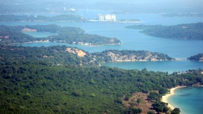
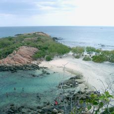
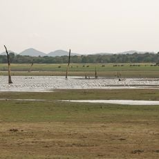
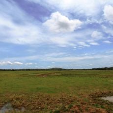
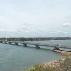
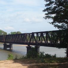
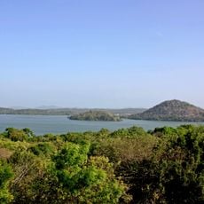
Trincomalee District stretches along the eastern coast of Sri Lanka with long shorelines, natural harbors, and a mix of hilly and flat terrain. The landscape is marked by rivers and waterways, with fishing villages dotting the coast, agricultural lands inland, and larger towns serving as local centers.
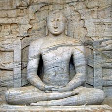
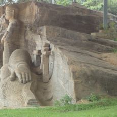
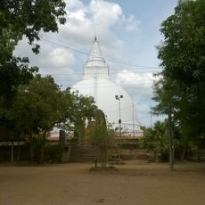
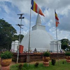
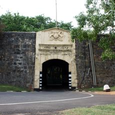
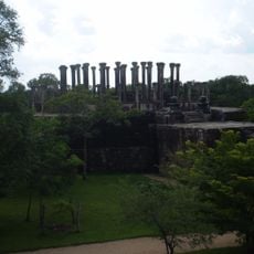
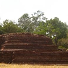
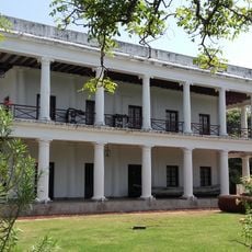
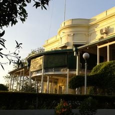
The region became a center of European trade and military interest from the 16th century onward, as Portuguese, Dutch, and later British forces took control of the strategic harbor. This colonial period shaped the local infrastructure and left traces visible today in buildings and how settlements are laid out.
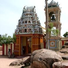
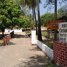
Several communities call the area home – Tamil fishermen, Sinhalese farmers, and Muslim merchants – who have lived side by side for centuries while maintaining their own languages, celebrations, and beliefs. Walking through the streets, you see this mix reflected in the temples, mosques, and churches that sit nearby each other and shape how people spend their days.
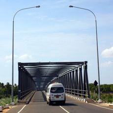
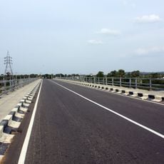
The district is connected by highways and railway lines to other parts of the country, making it easy for visitors to travel through and reach different spots. It helps to set aside enough time to explore both coastal areas and inland regions, as distances between places can be substantial.
The harbor operates year-round regardless of weather, making it one of the few natural ports never blocked by storms. Many visitors overlook how this constantly working harbor serves both as a trading port and a naval facility.
The community of curious travelers
AroundUs brings together thousands of curated places, local tips, and hidden gems, enriched daily by 60,000 contributors worldwide.