Kegalle District, Administrative district in Sabaragamuwa Province, Sri Lanka
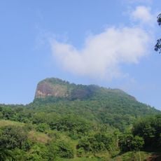
Kegalle District is an administrative region in Sabaragamuwa Province spread across hilly terrain with varying elevations. The landscape transitions from lower areas in the west to higher elevations in the east, with valleys and waterways carving through the land.
The area functioned as a traditional administrative unit during Sri Lanka's pre-colonial era. It later became part of the country's modern administrative system organized into multiple divisions.
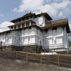
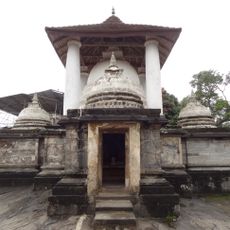
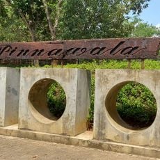
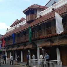
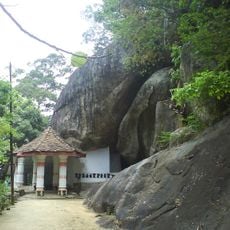
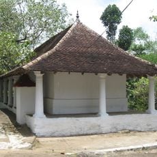
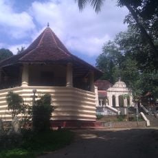
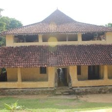
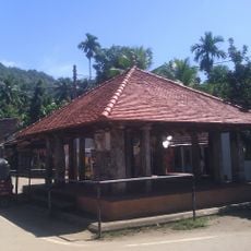
Sinhalese traditions shape daily life throughout the region, visible in local practices and community gatherings. Religious sites and markets scattered across the area reflect how people here maintain their cultural roots.
The district is divided into multiple administrative divisions to help organize local services and governance. The varying elevations mean that weather and road conditions differ between lower western areas and the higher eastern regions.
The region contains high-grade graphite mines that represent some of the country's richest mineral deposits. These resources have shaped local economic activity and remain important to exports.
The community of curious travelers
AroundUs brings together thousands of curated places, local tips, and hidden gems, enriched daily by 60,000 contributors worldwide.