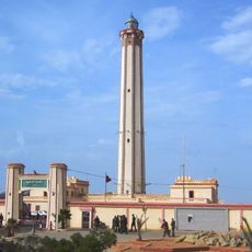
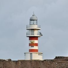
Cape Bojador, Maritime landmark on Atlantic coast, Western Sahara.
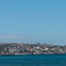
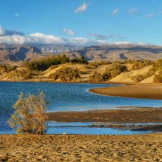
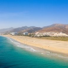
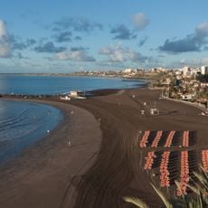
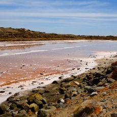
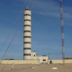
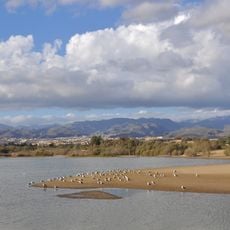
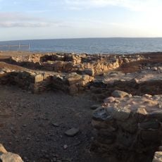
Cape Bojador is a low headland on the Atlantic coast of Western Sahara, 220 km due south of Fuerteventura's south-western point. From the north it appears as a mass of red sand sloping gradually to the sea; from the south its tip shows as a reef that dries in places and is marked by breakers even in calm weather. Black rocks border its southern side, and the coast between it and Cabo Falso Bojador, 10 nautical miles northeast, is a sandy beach fringed by rocks with scrub-topped dunes about 0.5 mile inland.
Gil Eanes rounded the cape in 1434 under orders from Prince Henry the Navigator, after a failed attempt in 1433. His small ship carried fifteen men and a single mast; he steered far west into open sea to find favourable winds before turning southeast past the cape. The passage ended the medieval myth of sea monsters and impassable waters, opening the route down the African coast.
The cape's original Arabic name, Abu Khatar, means "father of danger". Portuguese charts and academic works still label it Cabo Bojador, and Fernando Pessoa gave the passage a lasting place in Portuguese letters in his poem "Mar Português", from Mensagem: "Who wants to pass beyond Bojador / Must also pass beyond pain."
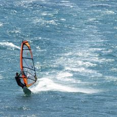
You can reach the cape by paved road from Laayoune to the north. The best time to visit depends on local weather conditions, especially wind and coastal surf patterns.
The cape's fearsome reputation rests on its underwater reef: the sea stays about six feet deep for roughly three miles offshore, and waves crashing into hidden gullies throw up foamy clouds that look like steam even on calm days. Shoals of sardines rising to feed make the water seem to boil.
The community of curious travelers
AroundUs brings together thousands of curated places, local tips, and hidden gems, enriched daily by 94,671 contributors worldwide.