Tetovo Municipality
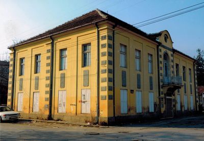
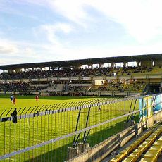
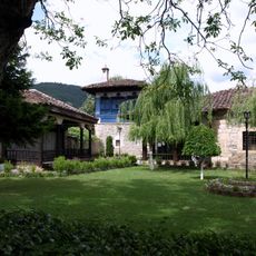
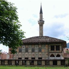
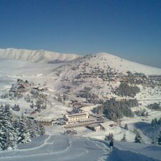
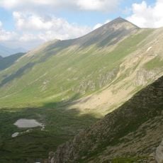
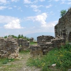
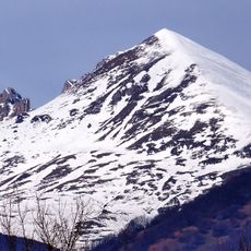
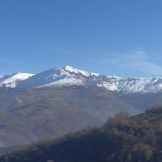
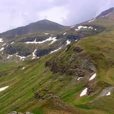
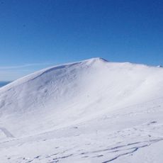
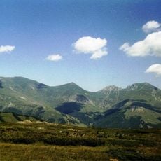
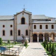
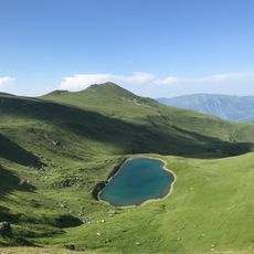
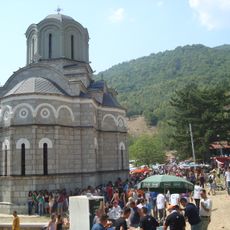
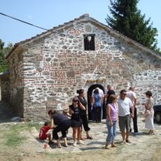
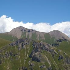
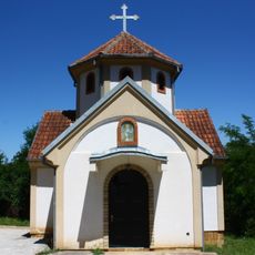
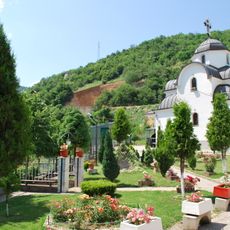
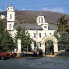
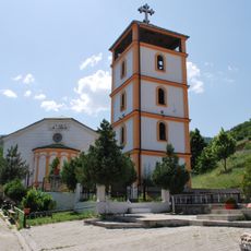
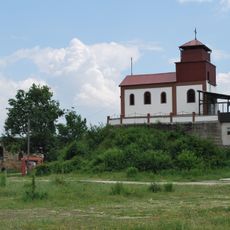
Tetovo Municipality, local administrative unit (opština) in North Macedonia
Location: North Macedonia
Elevation above the sea: 1,223 m
Website: http://tetova.gov.mk
GPS coordinates: 42.00000,20.96667
Latest update: March 4, 2025 18:29
Gradski stadion Tetovo
2.3 km
Arabati Baba Teḱe
891 m
Šarena Mosque
649 m
Popova Šapka
6.9 km
Titov Vrv
14 km
Lešok Monastery
9 km
Tetovo Fortress
2.2 km
Kobilica
12.7 km
Crn Vrv
14.8 km
Džini Beg
17.3 km
Sin Vrv
10.1 km
Bakardan
12.4 km
Sreden Kamen
14.5 km
Ss. Cyril and Methodius Cathedral
1.5 km
Karanikolica
17 km
Свети Атанасий
9 km
Dormition of the Theotokos Church
9 km
Mal Turčin
14.1 km
Kirche Hl. Athanasius (Džepčište)
5.3 km
St. Petka Church
1.5 km
Church of the Theotokos Life Giving Spring
1.4 km
St. Nicholas Church (Tetovo)
1.4 km
St. Athanasius Church
2.2 km
St. Naum of Ohrid Church
7.1 km
Chifte Hamam
704 m
St. Athanasius Church - Old Monastery
9.3 km
Tetovo Region Museum
1.2 km
Alim Beg's House
718 mVisited this place? Tap the stars to rate it and share your experience / photos with the community! Try now! You can cancel it anytime.
Discover hidden gems everywhere you go!
From secret cafés to breathtaking viewpoints, skip the crowded tourist spots and find places that match your style. Our app makes it easy with voice search, smart filtering, route optimization, and insider tips from travelers worldwide. Download now for the complete mobile experience.
A unique approach to discovering new places❞
— Le Figaro
All the places worth exploring❞
— France Info
A tailor-made excursion in just a few clicks❞
— 20 Minutes