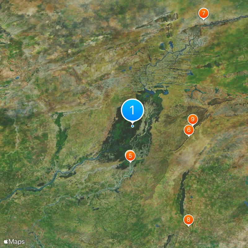
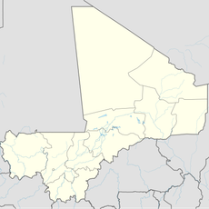
Inner Niger Delta, Inland delta in Sahel, Mali.
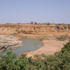
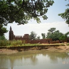
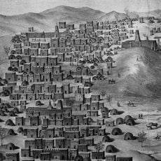
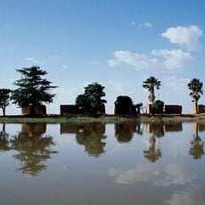
The Inner Niger Delta is a network of lakes, channels, and floodplains in central Mali, south of the Sahara Desert. The landscape spreads across a vast low-lying region where multiple waterways expand and shrink with the seasons, creating shifting patterns of water and land.
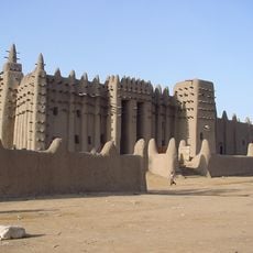
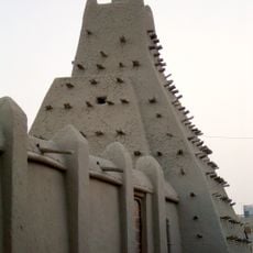
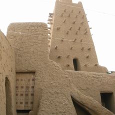
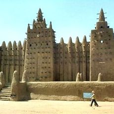
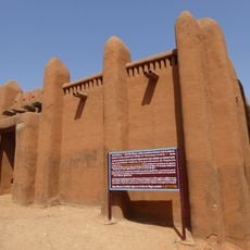
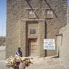
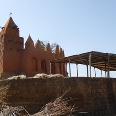
The Massina Empire established its capital in this delta region during the 19th century before later empires and colonial powers reshaped the area. This succession of rulers left marks on the region's development and settlement patterns.
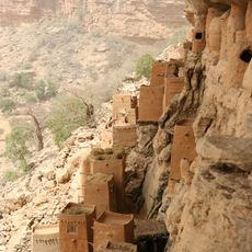
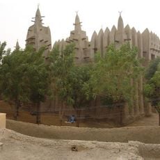
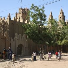
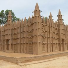
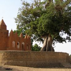
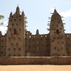
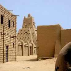
The Fulani and Dogon have shaped daily life here through fishing, farming, and herding practices tied to seasonal floods. Their settlements and boats reflect how people have learned to live with the water's changing rhythm.
The best time to visit is from June to September, when the Niger River floods fill lakes and channels and make the area rich with wildlife and birds. Outside these months, the region becomes much drier and harder to navigate.
During peak flooding, this delta transforms into a water expanse larger than the entire country of Belgium. This seasonal explosion of water attracts millions of migratory birds from Europe seeking food and refuge.
The community of curious travelers
AroundUs brings together thousands of curated places, local tips, and hidden gems, enriched daily by 60,000 contributors worldwide.