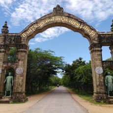
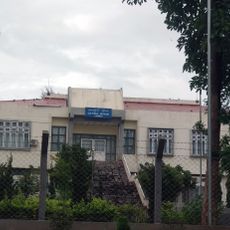
Taungoo, human settlement in Myanmar
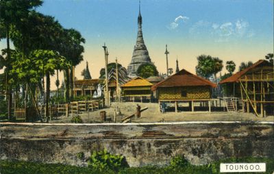
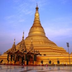
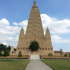
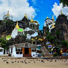
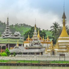
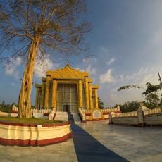
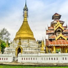
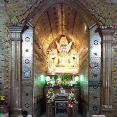
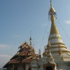
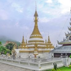
Taungoo is a town located in central Myanmar along the road connecting Yangon with the northern regions. It has a simple layout centered on a main road with small markets, shops, guesthouses, and several old pagodas including the Shwe Sandaw Pagode in town center.
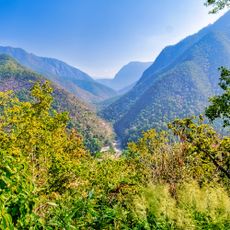
Taungoo was a seat of power several centuries ago and played a significant role in Myanmar's political changes and conflicts. Its strategic location shaped its history and connected it to various rulers and dynasties throughout the region.
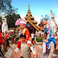
Taungoo displays everyday life in central Myanmar. Along the streets you see small markets, local shops, and simple houses where traders sell fresh produce and people go about their daily routines and community activities.
Taungoo is easy to reach from Yangon and serves as a common stop for travelers exploring the country. The town offers guesthouses for overnight stays, cafes and restaurants serving local food, and bicycle rentals allow you to explore the surrounding countryside and villages.
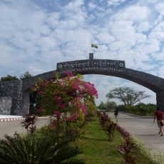
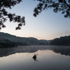
The Kan Taw Gyi pond is an artificial body of water where couples often spend time walking around the quiet water. It is one of the town's more romantic spots and shows how locals enjoy their leisure time in Taungoo.
The community of curious travelers
AroundUs brings together thousands of curated places, local tips, and hidden gems, enriched daily by 60,000 contributors worldwide.