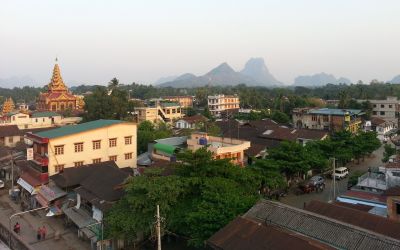
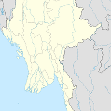
Hpa-An, Administrative capital in Southeastern Myanmar
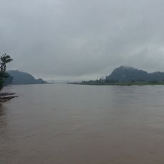
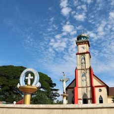
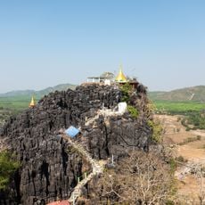
Hpa-An is a city in Southeastern Myanmar surrounded by limestone mountains and serving as the administrative center for the district. The town sits in a valley characterized by distinctive rock formations that dominate the local landscape.
The city developed as a regional center throughout different phases of Myanmar's history until becoming the administrative seat it is today. Its location in the valley between mountains made it a natural gathering point for the surrounding region.
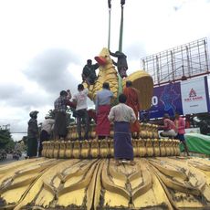
Local markets show traditional Karen crafts and fabrics, with artisans selling goods that reflect generations of skills passed down in this region. The way people move through daily life and interact in public spaces reveals how deeply Karen culture shapes the rhythm of the city.
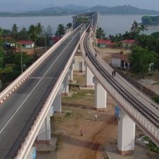
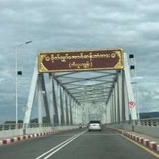
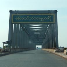
The city is served by buses and taxis that connect to the surrounding caves, temples, and natural formations nearby. Visitors can explore many attractions on foot or with short trips, as the area's main points of interest are relatively close together.
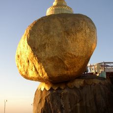
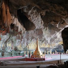
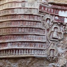
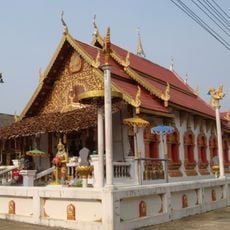
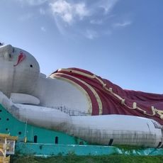
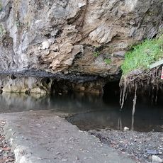
The limestone caves surrounding the city contain Buddhist shrines, with some chambers extending hundreds of meters into the mountain formations. These underground spaces are often fitted with temple structures, showing how sacred sites developed within natural cavities.
Location: Hpa-an District
Elevation above the sea: 18 m
Part of: Southeastern Myanmar
GPS coordinates: 16.89026,97.63627
Latest update: December 6, 2025 17:40
Southeast Asia extends from the volcanic craters of Sumatra to the limestone formations of northern Vietnam, combining geological features with centuries-old cultural sites. The region includes Lake Toba, one of the world's deepest crater lakes, the Banaue rice terraces that have been cultivated for...
Kyaiktiyo Pagoda
87.2 km
Thanbyuzayat War Cemetery
102.5 km
Thanlwin Bridge
42.3 km
Kyaikthanlan Pagoda
44.6 km
Kyaik Htee Saung
57.9 km
Kyauk Ka Lat Pagoda
8 km
Saddan Cave
18.9 km
Sandawshin Zwegabin Pagoda
8.1 km
Kaw Goon Cave
9.2 km
Yamanya Stadium
44 km
Nam Tok Pha Charoen National Park
121.4 km
General Aung San Bridge
50.1 km
Uzina Pagoda
46.4 km
Sittaung Bridge
102.2 km
Wat Thai Samakkhi
103.4 km
Thanlwin Bridge (Hpa-An)
6 km
Wat Mani Phraison
101.7 km
Wat Chumphon Khiri
101 km
Hpa-An University
2.3 km
Mahniyadanar Sandawshin Pagoda
95 km
Holy Family Cathedral in Mawlamyine
45.9 km
Win Sein Taw Ya
63.8 km
St Patrick's Church
44.9 km
Donthami River
22.5 km
Historic site
43.8 km
Line of Monks Up Hill
65 km
Kyauktalon Taung
64.2 km
Phabaung Taung
72.9 kmVisited this place? Tap the stars to rate it and share your experience / photos with the community! Try now! You can cancel it anytime.
Discover hidden gems everywhere you go!
From secret cafés to breathtaking viewpoints, skip the crowded tourist spots and find places that match your style. Our app makes it easy with voice search, smart filtering, route optimization, and insider tips from travelers worldwide. Download now for the complete mobile experience.
A unique approach to discovering new places❞
— Le Figaro
All the places worth exploring❞
— France Info
A tailor-made excursion in just a few clicks❞
— 20 Minutes