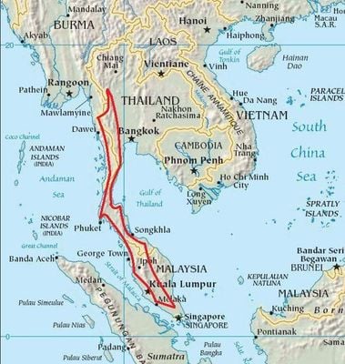
Tenasserim Hills, Mountain range and WWF ecoregion in Myanmar and Thailand
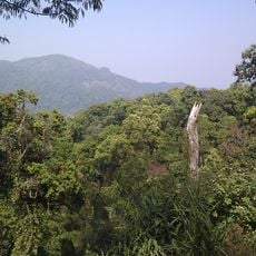
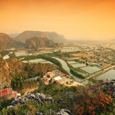
The Tenasserim Hills form a mountain range extending through Myanmar and Thailand, built from granite and limestone rock. Peaks reach roughly 2200 meters, creating varied landscapes across the region.
During the 18th-century Burmese-Siamese War, Burmese forces used mountain passages to move around defensive lines. This strategic location made the terrain important for military movements between regions.
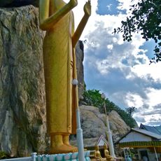
The name comes from a Malay word meaning glowing or betel land, reflecting how local communities have traditionally understood this terrain. People living on the slopes have adapted their lives to mountain forests and seasonal weather patterns for generations.
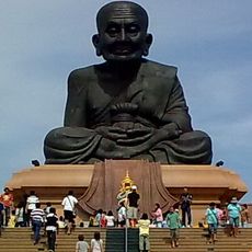
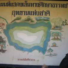
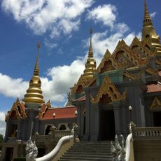
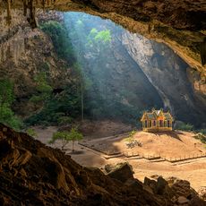
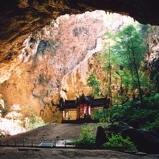
The best way to explore the area is through several national parks in Thailand and Myanmar that offer trailheads and entry points. Visitors should expect uneven ground and prepare for rain, especially during monsoon season.
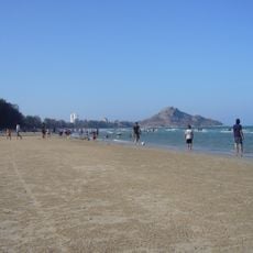
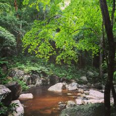
The western slopes receive much more monsoon rain than the eastern sides, creating entirely different ecosystems. These wetter areas are home to rare birds like Gurney's pitta, a species few visitors ever encounter.
The community of curious travelers
AroundUs brings together thousands of curated places, local tips, and hidden gems, enriched daily by 60,000 contributors worldwide.