
Htantabin Township, township in Yangon, Burma
Location: North Yangon District
GPS coordinates: 17.13333,95.91667
Latest update: March 20, 2025 16:21
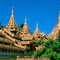
Shwedagon Pagoda
44.8 km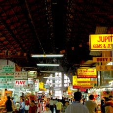
Bogyoke Market
46.8 km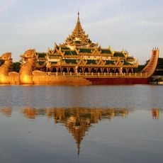
Karaweik
46.2 km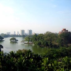
Kandawgyi Lake
46.1 km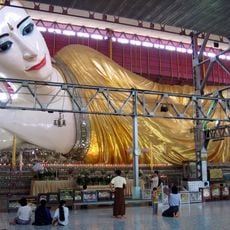
Chaukhtatgyi Buddha Temple
44.4 km
Inya Lake
41 km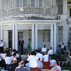
54 University Avenue
42.3 km
Martyrs' Mausoleum
44.3 km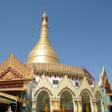
Kaba Aye Pagoda
39.9 km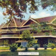
Pegu Club
45.5 km
Yangon Zoological Gardens
46 km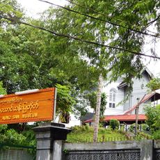
Bogyoke Aung San Museum
45.1 km
Bogyoke Aung San Stadium
46.8 km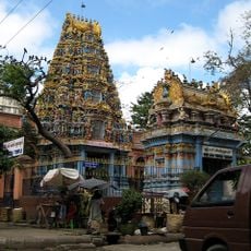
Shri Kali Temple, Burma
47 km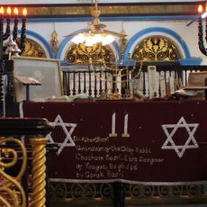
Musmeah Yeshua Synagogue
47.3 km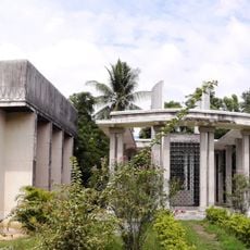
Kandawmin Garden Mausolea
45.4 km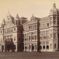
Government House, Rangoon
44.4 km
Guanyin Gumiao Temple
47 km
People's Square and Park
44.5 km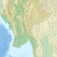
Hlawga National Park
25.3 km
Kyauktawgyi Buddha Temple
35.4 km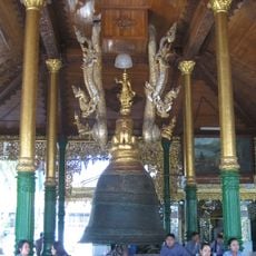
Singu Min Bell
44.8 km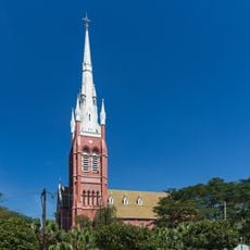
Holy Trinity Cathedral, Yangon
46.7 km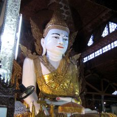
Nga Htat Gyi Pagoda
44.7 km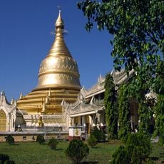
Maha Wizaya Pagoda
45.3 km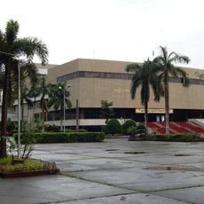
National Theatre of Yangon
46.1 km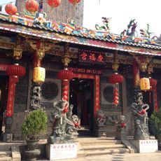
Kheng Hock Keong Temple
47.1 km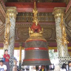
Tharrawaddy Min Bell
44.8 kmVisited this place? Tap the stars to rate it and share your experience / photos with the community! Try now! You can cancel it anytime.
Discover hidden gems everywhere you go!
From secret cafés to breathtaking viewpoints, skip the crowded tourist spots and find places that match your style. Our app makes it easy with voice search, smart filtering, route optimization, and insider tips from travelers worldwide. Download now for the complete mobile experience.

A unique approach to discovering new places❞
— Le Figaro
All the places worth exploring❞
— France Info
A tailor-made excursion in just a few clicks❞
— 20 Minutes