Enable Location

We need your location to show you interesting places around you

Discover nearby places

Find interesting locations and hidden gems around you

Precise directions

Get accurate directions and distances to places

Your location is never shared with other users. It's only used when you tap the location button.

Abia State

Log in to your account

Start exploring — it's free

Trusted by 62,060 travelers worldwide

Continue with Google
Continue with Apple
or

We will send you a code to connect

By continuing, you accept our Terms and Conditions and our Privacy Policy

Check your inbox

We've sent a pincode in your inbox. Please enter the code below.

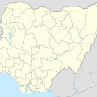
Abia State, Administrative division in southeastern Nigeria

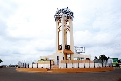
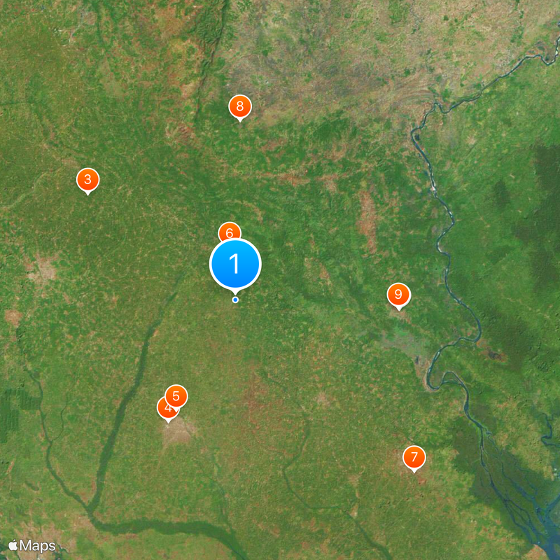
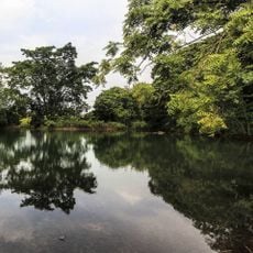
Abia State is an administrative division in southeastern Nigeria stretching from swamp forests in the southern delta to transition woodlands further north. The territory divides into 17 local government areas and covers cities including Aba and Umuahia.

The region formed from four areas called Aba, Bende, Isuikwuato and Afikpo and gained independent status in August 1991. The creation under General Ibrahim Babangida came during a period of administrative restructuring across the country.

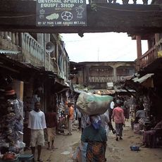
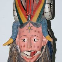
The local food culture uses palm oil and bitter leaf in dishes such as Ofe Akwu and Abacha, which appear in roadside kitchens and market stalls. The use of chieftaincy titles and formal greetings reflects social structures that shape everyday conversation and public interaction.

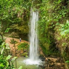
Roads connect the main towns and make travel between Aba at the center and neighboring regions easier. Visitors should check local customs and stay aware of changing weather conditions near coastal areas.

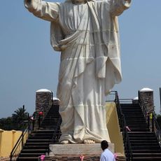
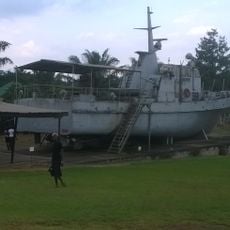
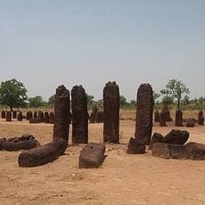
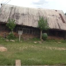
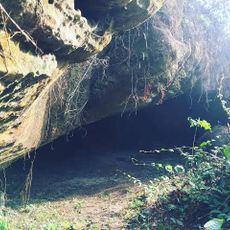
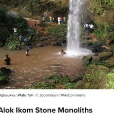
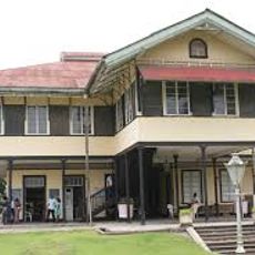
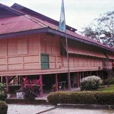
The war museum in Umuahia displays objects from the Nigerian civil conflict and sits inside a former command building. Near Arochukwu underground passages from pre-colonial times once held ritual significance.

The community of curious travelers

AroundUs brings together thousands of curated places, local tips, and hidden gems, enriched daily by 60,000 contributors worldwide.

Start exploring
Location
Inception
August 27, 1991
Capital city
Umuahia
Shares border with
Enugu State, Ebonyi State, Cross River State, Akwa Ibom State, Rivers State, Imo State
GPS coordinates
5.41667,7.50000
Latest update
December 12, 2025 22:59
« Abia State - Administrative division in southeastern Nigeria » is provided by Around Us (aroundus.com). Images and texts are derived from Wikimedia project under a Creative Commons license. You are allowed to copy, distribute, and modify copies of this page, under the conditions set by the license, as long as this note is clearly visible.

Discover hidden gems everywhere you go!

From secret cafés to breathtaking viewpoints, skip the crowded tourist spots and find places that match your style. Our app makes it easy with voice search, smart filtering, route optimization, and insider tips from travelers worldwide. Download now for the complete mobile experience.

Around Us App Screenshot

A unique approach to discovering new places

Le Figaro

All the places worth exploring

France Info

A tailor-made excursion in just a few clicks

20 Minutes

Around Us
Travel Guide & Maps
Download

Send to your phone

QR Code
1

Open the camera app on your mobile.

2

Point at the QR code with your camera. A notification will appear.

3

Tap the notification to open the link.