Buruku, local government area in Nigeria
Location: Benue State
Location: Makurdi
GPS coordinates: 7.41679,9.22467
Latest update: April 25, 2025 19:01
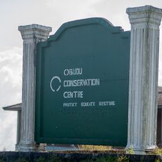
Obudu Mountain Resort
115.9 km
Ikom monoliths
176.9 km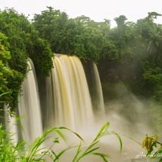
Agbokim Waterfalls
171.6 km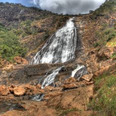
Farin Ruwa Falls
199.5 km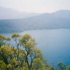
Mount Oku
197 km
Donga River
128.9 km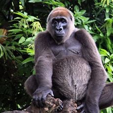
Afi River Forest Reserve
138.4 km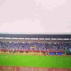
Aper Aku Stadium
86 km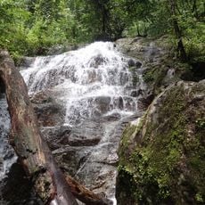
Afam, Rivers State
123.1 km
Old Bridge, Makurdi
83.7 km
Mbe Mountains Community Forest
134.7 km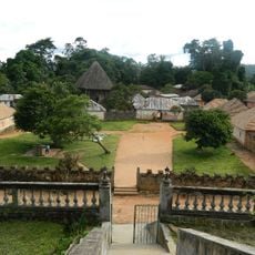
Bafut palace
177.5 km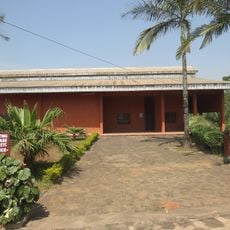
Mankon Museum
185 km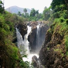
Chutes de la Menchum
153.5 km
Pandam Wildlife Park
146.5 km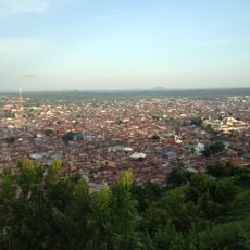
Maloney Hill
217.9 km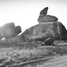
Riyom rock
191.8 km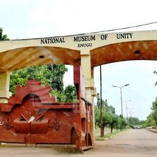
National Museum Of Unity, Enugu
217.6 km
Chief Nwokolo's House at Ukehe
213.7 km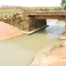
Stone Causeway at Tading, Bokkos
211.2 km
Parcours Vita Bamenda
191.1 km
Stone Causeway at Forof, Bokkos
211.1 km
NYSC Permanent Orientation Camp Ebonyi State
222.1 km
Okposi Salt Lake
219.5 km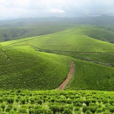
Kakara tea farm
219 km
Saint Williams Cathedral, Lafia
143.8 km
Palacio de Mankon
185 km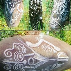
Alok Ikom Monoliths
137.8 kmReviews
Visited this place? Tap the stars to rate it and share your experience / photos with the community! Try now! You can cancel it anytime.
Discover hidden gems everywhere you go!
From secret cafés to breathtaking viewpoints, skip the crowded tourist spots and find places that match your style. Our app makes it easy with voice search, smart filtering, route optimization, and insider tips from travelers worldwide. Download now for the complete mobile experience.

A unique approach to discovering new places❞
— Le Figaro
All the places worth exploring❞
— France Info
A tailor-made excursion in just a few clicks❞
— 20 Minutes