Casita Volcano, volcano in Nicaragua
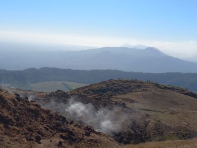
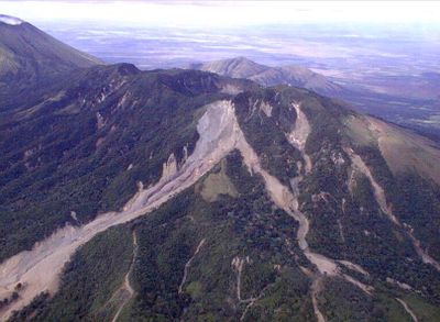
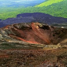
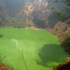
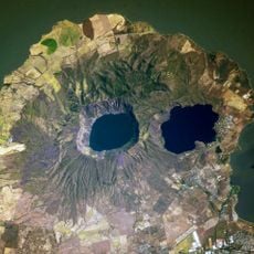
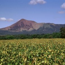
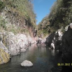
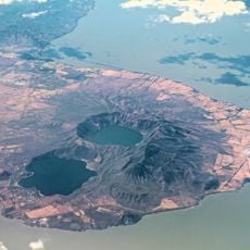
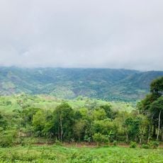
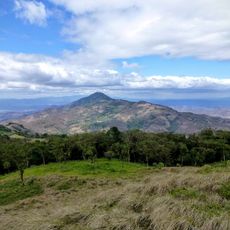
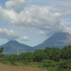
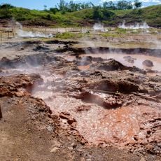
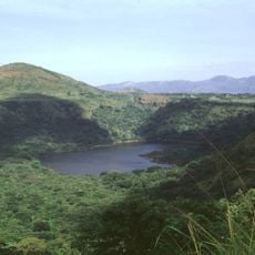
Casita is a small volcano in the Chinandega Department of Nicaragua, rising over 1,000 meters (3,300 feet) above sea level and forming part of the Maribios volcanic chain. The mountain features gentle slopes, a rounded summit with a crater about 1 kilometer across, and dome-shaped rock formations that mark its volcanic origins.
This volcano is ancient with no signs of recent eruptions, though occasional smoke still rises from its crater. In October 1998, Hurricane Mitch brought extreme rainfall that triggered massive landslides and mudflows down the southern slopes, resulting in one of the region's worst natural disasters.
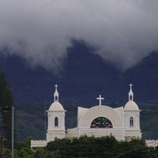
The volcano is locally called Casita, meaning "little house," a name reflecting its gentle, rounded shape. Local people view it as a familiar part of their landscape and a quiet landmark that connects them to the natural world around them.
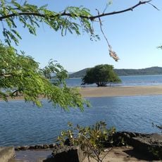
The area sits in a rural location with no major facilities nearby, so visitors should bring water, wear comfortable shoes, and be ready to walk through natural terrain. The climate is warm and humid, with heavy rains during certain months, making early mornings or late afternoons the best times for hiking.
Radio and communication antennas sit atop the summit, transmitting signals across the region and giving the mountain an unexpected modern function. Coffee is grown on its fertile slopes, showing how people use the volcano economically despite its capacity for destruction.
The community of curious travelers
AroundUs brings together thousands of curated places, local tips, and hidden gems, enriched daily by 60,000 contributors worldwide.