Enable Location

We need your location to show you interesting places around you

Discover nearby places

Find interesting locations and hidden gems around you

Precise directions

Get accurate directions and distances to places

Your location is never shared with other users. It's only used when you tap the location button.

Rolwaling Himal

Log in to your account

Start exploring — it's free

Trusted by 62,530 travelers worldwide

Continue with Google
Continue with Apple
or

We will send you a code to connect

By continuing, you accept our Terms and Conditions and our Privacy Policy

Check your inbox

We've sent a pincode in your inbox. Please enter the code below.

Rolwaling Himal

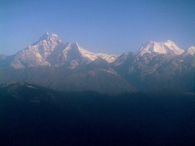
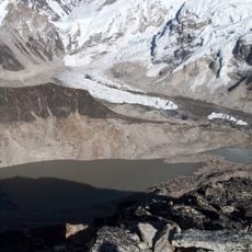
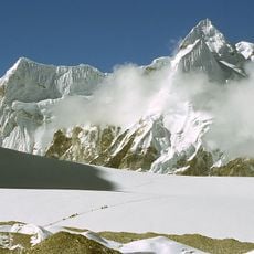
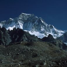
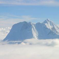
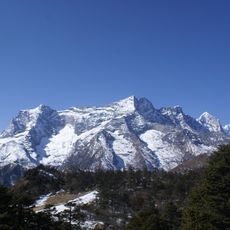
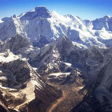
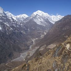
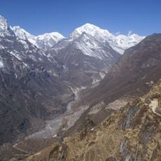
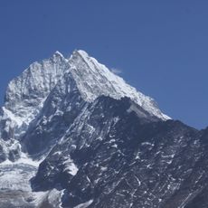
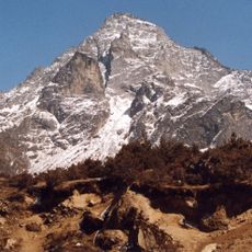
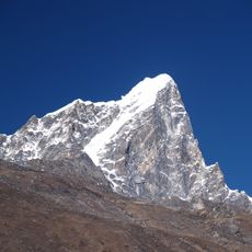
Rolwaling Himal, Mountain massif in eastern Nepal

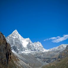
Rolwaling Himal is a mountain massif in eastern Nepal that extends between the Nangpa La pass and the Tamakosi River. The range contains many peaks, with Melungtse and Gaurishankar standing as the highest summits.

The region was first explored by Western climbers in 1951 when Eric Shipton conducted reconnaissance missions connected to Mount Everest expeditions. This early exploration helped bring the massif to the attention of the outside world.

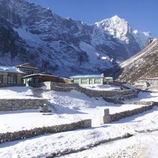
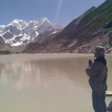
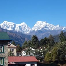
The Sherpa communities in the valley maintain their own traditions and ways of living, visible in their daily work and local celebrations. Visitors can see how these groups interact with the mountain environment through their homes and farming practices.

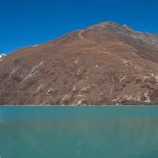
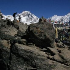
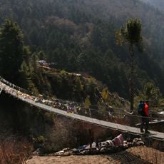
Access to the Rolwaling region starts with a bus journey from Kathmandu to the village of Jagat, followed by several days of trekking. The best time to visit is during stable weather periods when the passes are open and the trails are walkable.

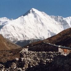
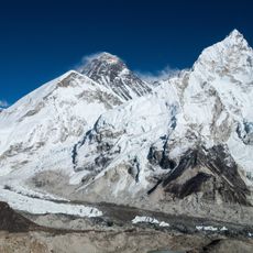
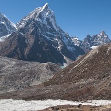
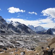
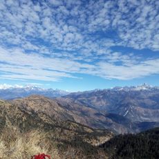
The massif contains around fifty peaks above 6000 meters, many of which have seen little climbing activity since 2014. These rarely visited summits offer climbers the chance to explore places that remain largely untouched by expeditions.

The community of curious travelers

AroundUs brings together thousands of curated places, local tips, and hidden gems, enriched daily by 60,000 contributors worldwide.

Start exploring
Elevation above the sea
7,181 m
GPS coordinates
27.95000,86.33333
Latest update
December 6, 2025 17:40
Photography locations in Nepal

Nepal offers photographers an exceptional range of subjects, from the highest mountains on Earth to centuries-old religious sites. The Himalayan range dominates the northern regions, where trekkers head to Everest Base Camp and Annapurna Base Camp. At middle elevations, traditional mountain villages...

« Rolwaling Himal - Mountain massif in eastern Nepal » is provided by Around Us (aroundus.com). Images and texts are derived from Wikimedia project under a Creative Commons license. You are allowed to copy, distribute, and modify copies of this page, under the conditions set by the license, as long as this note is clearly visible.

Discover hidden gems everywhere you go!

From secret cafés to breathtaking viewpoints, skip the crowded tourist spots and find places that match your style. Our app makes it easy with voice search, smart filtering, route optimization, and insider tips from travelers worldwide. Download now for the complete mobile experience.

Around Us App Screenshot

A unique approach to discovering new places

Le Figaro

All the places worth exploring

France Info

A tailor-made excursion in just a few clicks

20 Minutes

Around Us
Travel Guide & Maps
Download

Send to your phone

QR Code
1

Open the camera app on your mobile.

2

Point at the QR code with your camera. A notification will appear.

3

Tap the notification to open the link.