King Country, Geographic region in North Island, New Zealand.
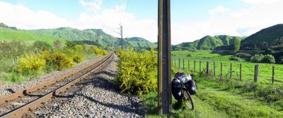
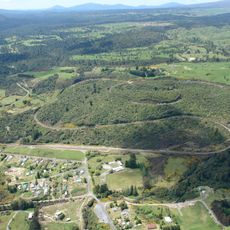
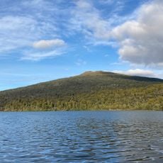
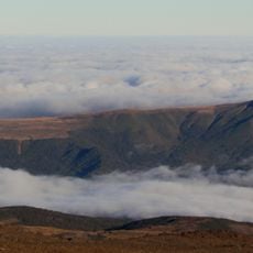
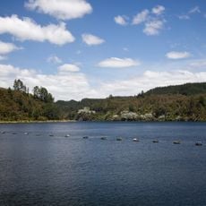
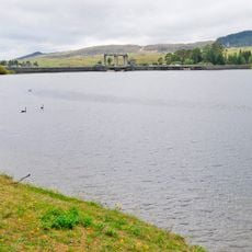
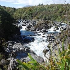
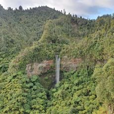
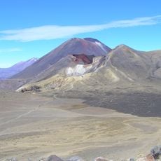
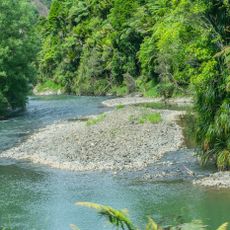
The King Country is a geographic region on the western North Island of New Zealand, stretching between Kawhia Harbour and the upper Whanganui River. The land features rolling hills, extensive forests, and scattered settlements interspersed with farmland throughout the area.
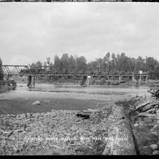
During the New Zealand Wars of the 1860s, this territory became a refuge for Maori forces after colonial troops invaded the Waikato region. The area thus played a central role in Maori resistance against European expansion.
The name Te Rohe Potae comes from King Tawhiao placing his white top hat on a map to mark the boundaries of Maori authority. This symbolic gesture continues to shape how locals view their region's independence and heritage.
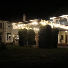
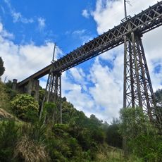
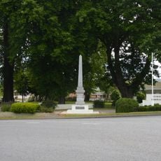
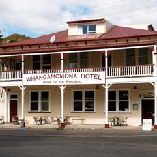
Multiple state highways connect the region to larger cities, with accommodations ranging from lodges in Te Kuiti to camping sites near Pureora Forest Park. The best time to visit is during summer months when road conditions are optimal and walking trails remain easily accessible.
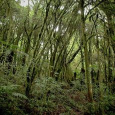
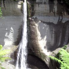
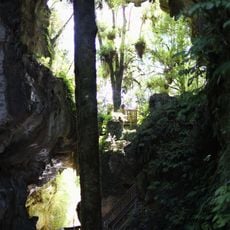
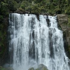
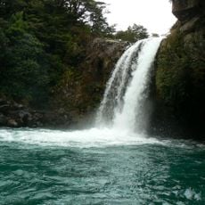
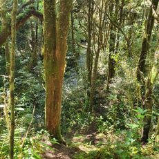
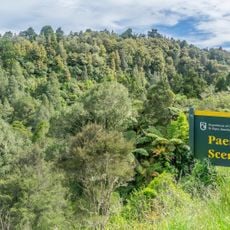
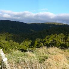
The area contains Pureora Forest Park, where ancient podocarp trees grow over 40 meters tall and provide habitat for native bird species. These forests are among the few remaining traces of the original forest cover that once blanketed this region.
The community of curious travelers
AroundUs brings together thousands of curated places, local tips, and hidden gems, enriched daily by 60,000 contributors worldwide.