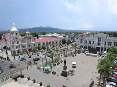
Balanga, Capital city in Bataan, Philippines
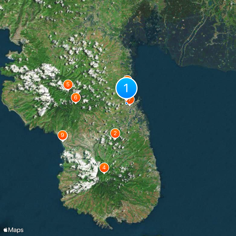
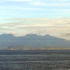
Balanga is a component city in Bataan province that stretches from Manila Bay in the east to mountain areas in the west, containing numerous barangays across its expanse. The city covers varied terrain combining coastal zones, settlements, and rural areas.
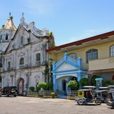
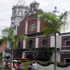
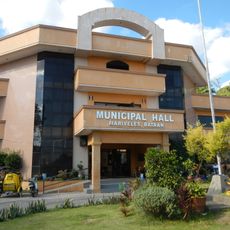
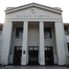
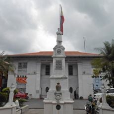
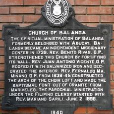
Dominican missionaries founded Balanga in the early 1700s as a mission settlement, marking the beginning of organized community growth in the area. Later, when Bataan province was established, the city became its seat of government.
The name Balanga comes from a Kapampangan word for clay pots, reflecting the area's long tradition of pottery making that remains part of local identity. This craft heritage continues to shape how residents connect with their community.
The area combines coastal zones with inland regions, allowing visitors to explore both bayside activities and mountain access depending on their interests. Planning which part of the city to visit first helps make the most of your time there.
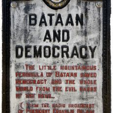
Balanga's nature and wetland park draws thousands of migratory birds each year, creating an unexpected sanctuary for wildlife watching within this coastal city. This location offers visitors a rare chance to observe tropical bird species in their natural habitat.
Location: Bataan
Inception: 1712
Elevation above the sea: 138 m
Shares border with: Morong, Bagac, Pilar, Abucay
Website: http://cityofbalanga.gov.ph
GPS coordinates: 14.68333,120.53333
Latest update: December 6, 2025 22:01
Mount Samat
9.2 km
Abucay Church
4.3 km
Mount Mariveles
18.1 km
Mount Natib
14.7 km
Bataan National Park
12.6 km
Balanga Cathedral
880 m
Casa Bizantina
18.3 km
Casa Hidalgo
18.3 km
Casa Unisan
18.3 km
Casa Jaen I
18.3 km
Subic Watershed Forest Reserve
27.2 km
The Fall of Bataan historical marker
892 m
Bataan World War II Museum
1.4 km
Mariveles Municipal Hall
27.9 km
Bataan Provincial Capitol
934 m
Francisco C. Baltazar (Balagtas) historical marker
8.6 km
Cayetano S. Arellano historical marker
8.3 km
Tomas Guillermo T. del Rosario historical marker
914 m
Church of Abucay historical marker
4.3 km
The Death March of Filipino and American Prisoners of War from Mariveles and Bagac to Camp O’Donnell, Capas, Tarlac historical markers
27.9 km
Church of Orani historical marker
13.1 km
Hagonoy Municipal Hall
27.5 km
Ambon-Ambon Falls
13.3 km
Church of Hagonoy historical marker
27.4 km
Starting Point of Death March historical marker
17.6 km
Church of Samal historical marker
9.7 km
Bataan and Democracy historical marker
21.1 km
Church of Balanga historical marker
902 mVisited this place? Tap the stars to rate it and share your experience / photos with the community! Try now! You can cancel it anytime.
Discover hidden gems everywhere you go!
From secret cafés to breathtaking viewpoints, skip the crowded tourist spots and find places that match your style. Our app makes it easy with voice search, smart filtering, route optimization, and insider tips from travelers worldwide. Download now for the complete mobile experience.
A unique approach to discovering new places❞
— Le Figaro
All the places worth exploring❞
— France Info
A tailor-made excursion in just a few clicks❞
— 20 Minutes