Abra, Administrative province in Northern Luzon, Philippines
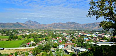
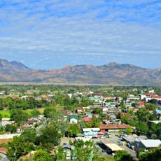
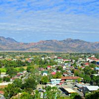
Abra is an administrative province in northern Luzon, Philippines, defined by deep valleys and peaks throughout the Cordillera range. The river of the same name runs from east to west through the territory, carving steep gorges and green lowlands.
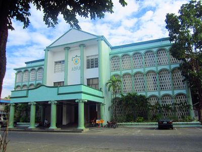
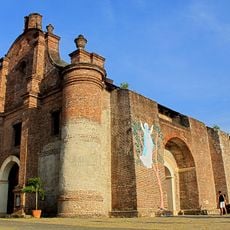
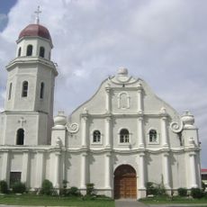
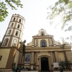
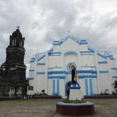
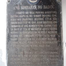
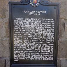
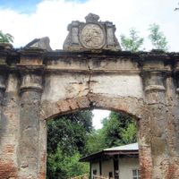
Spanish colonizers built outposts and missions in Bangued starting in 1598, laying the groundwork for today's towns. The territory later separated from neighboring administrative areas and took its current boundaries through several adjustments over time.
The Tinguian people, also called Itneg, live across the valleys and maintain their heritage through oral storytelling and crafts. Visitors today can see traditional weaving patterns and rituals that reflect mountain life and community bonds.
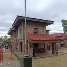
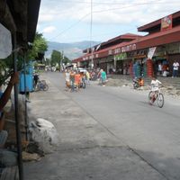
Bangued serves as the capital and main entry point for travel into surrounding towns. Roads wind through valleys and over passes, with some routes becoming more difficult during heavy rain.
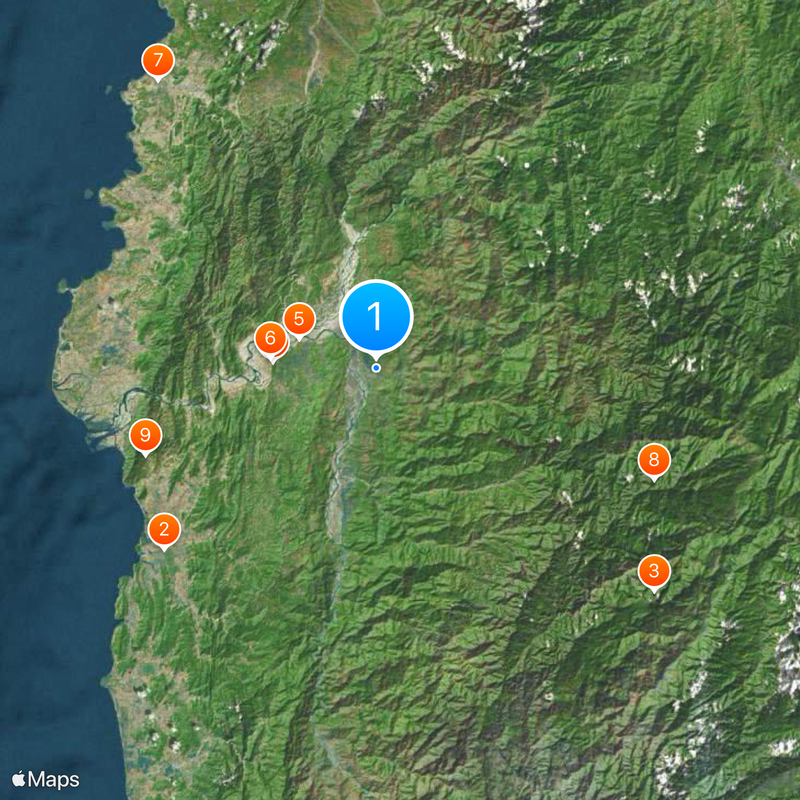
The name comes from the Spanish word for gorge, referring to the Banaoang Gap where the river cuts through the mountains toward the coast. Traders once used this natural passage as a route between lowland markets and highland communities.
Location: Cordillera Administrative Region
Inception: March 10, 1917
Capital city: Bangued
Reference: 1400100000
Shares border with: Ilocos Sur, Kalinga, Mountain Province, Ilocos Norte
Email: abragovernorofc@gmail.com
Website: http://abra.gov.ph
GPS coordinates: 17.58333,120.75000
Latest update: December 13, 2025 16:21
Santa Maria Church
37.2 km
Mount Binuluan
47.6 km
Cassamata Hill National Park
13.7 km
Saint Catherine of Alexandria Parish Church
10.9 km
Bangued Cathedral
14.2 km
Badoc Church
48.2 km
Balbalasang-Balbalan National Park
40 kmNorthern Luzon Heroes Hill National Park
32.9 kmLibunao Protected Landscape
38.6 kmSanta Lucia Protected Landscape
52.8 kmBigbiga Protected Landscape
24.1 kmLidlidda Protected Landscape
42.9 km
Museo nina Juan at Antonio Luna
48 km
Juan Luna Shrine
48 km
Church of Sta. Maria historical marker
37.2 km
Church of Narvacan historical marker
34.4 kmNorth Peak Bulagao
26.5 km
Birthplace of Juan Luna y Novicio historical marker
48 km
Quintin Paredes historical marker
14 kmNuestra Señora del Pilar Parish Church
20.4 km
Antonio Luna historical marker
48 km
Quintin Paredes Ancestral House
14 kmGregorio Aglipay Shrine
46.7 kmThree Sisters
49.8 km
The Church of Badoc historical marker
48.2 km
Juan Luna y Novicio historical marker
48 kmSouth Peak Bulagao
25.4 km
Church of Sta. Maria historical marker
37.3 kmVisited this place? Tap the stars to rate it and share your experience / photos with the community! Try now! You can cancel it anytime.
Discover hidden gems everywhere you go!
From secret cafés to breathtaking viewpoints, skip the crowded tourist spots and find places that match your style. Our app makes it easy with voice search, smart filtering, route optimization, and insider tips from travelers worldwide. Download now for the complete mobile experience.
A unique approach to discovering new places❞
— Le Figaro
All the places worth exploring❞
— France Info
A tailor-made excursion in just a few clicks❞
— 20 Minutes