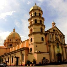
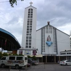
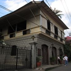
Occidental Mindoro, Administrative province in western Mindoro Island, Philippines
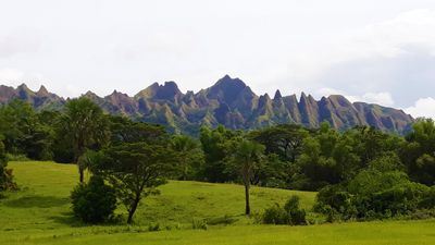
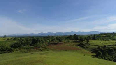
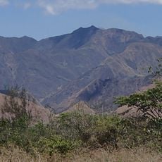
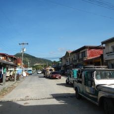
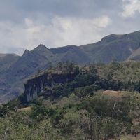
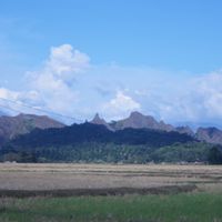
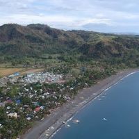
Occidental Mindoro is a province covering the western side of Mindoro Island, with coastlines facing the South China Sea and mountain ranges rising inland. The landscape shifts between rice fields in the lowlands, dense forests on the slopes, and fishing villages along the bays.
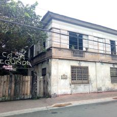
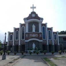
The division of Mindoro into two provinces took place in the mid-20th century to simplify the administration of the large island. Mamburao was chosen as the provincial capital and has served as the administrative center for the western section ever since.
The various Mangyan groups live mainly in the mountains and preserve their own languages and ways of life. Visitors can see hand-woven textiles and basketry made using traditional techniques passed down through generations.
Ferries from Batangas reach several ports, including Abra de Ilog and Sablayan, with travel times varying by destination. Buses and jeepneys connect coastal towns, and smaller roads lead into the mountain regions.
The northern part of the province is home to tamaraw, small water buffalo found only on Mindoro. A protected area preserves their population and allows occasional sightings for visitors exploring the remote trails.
Location: Mimaropa
Inception: 1950
Capital city: Mamburao
Reference: 1705100000
Shares border with: Palawan, Oriental Mindoro
Website: http://occidentalmindoro.ph
GPS coordinates: 13.00000,120.91667
Latest update: December 14, 2025 17:35
Taal Basilica
98 km
Mother of All Asia–Tower of Peace
72.8 km
Lipa Cathedral
108.1 km
Mounts Iglit–Baco National Park
34.4 km
Casa de Segunda
107.8 km
Cape Santiago Lighthouse
90.5 km
Shercon Resort and Ecology Park
112.5 km
Bauan Church
88.4 km
Santo Niño Cathedral
54.3 km
Casa Villavicencio
98 km
Agoncillo-Mariño House
97.8 km
Lemery Church
98.3 km
Cabra Island lighthouse
138.3 km
Anilao
83.5 km
Villavicencio-Marella House
98 km
Apo Reef Light
66.3 km
Apo Reef Natural Park
63.2 km
Occidental Mindoro Sports Complex
72.5 km
Escuela Pia historical marker
98 kmLake Naujan National Park
32.8 km
Aquaria Water Park
93.5 kmMount Calavite Wildlife Sanctuary
77.6 kmArea paesaggistica protetta del vulcano Taal
111.8 km
Fidel A. Reyes historical marker
108 km
Lago de Oro
107 km
Gliceria Marella de Villavicencio historical marker
98 km
Tree House
87.7 km
Pandan Island Resort
23.7 kmVisited this place? Tap the stars to rate it and share your experience / photos with the community! Try now! You can cancel it anytime.
Discover hidden gems everywhere you go!
From secret cafés to breathtaking viewpoints, skip the crowded tourist spots and find places that match your style. Our app makes it easy with voice search, smart filtering, route optimization, and insider tips from travelers worldwide. Download now for the complete mobile experience.
A unique approach to discovering new places❞
— Le Figaro
All the places worth exploring❞
— France Info
A tailor-made excursion in just a few clicks❞
— 20 Minutes