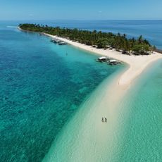
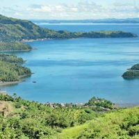
Samar, Administrative province in Eastern Visayas, Philippines
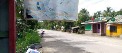
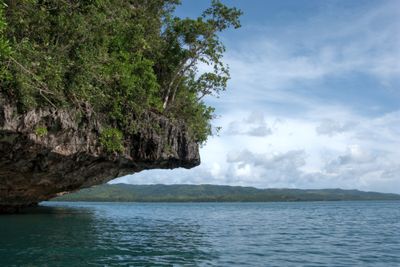
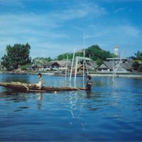
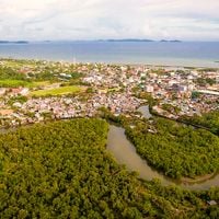
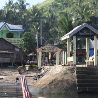
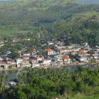
Samar is an administrative territory in Eastern Visayas, Philippines, spread across several islands and bordered by the waters of the Samar Sea. The area includes coastal strips, forested hills, and small settlements connected by roads and waterways.
The territory formed a single unit until 1965, when it was divided into three separate provinces: Northern Samar, Eastern Samar, and the present entity. This reorganization aimed to ease administration across the scattered islands and communities.
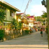
Locals speak Waray-Waray in daily life, a tongue with its own rhythms and expressions heard at markets and village gatherings. This regional speech shapes how people here meet and exchange stories.
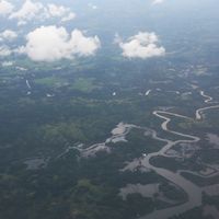
Visitors usually arrive by ferry from nearby islands or by flights to Calbayog. Roads between towns wind through hilly terrain, so plan for longer travel times.
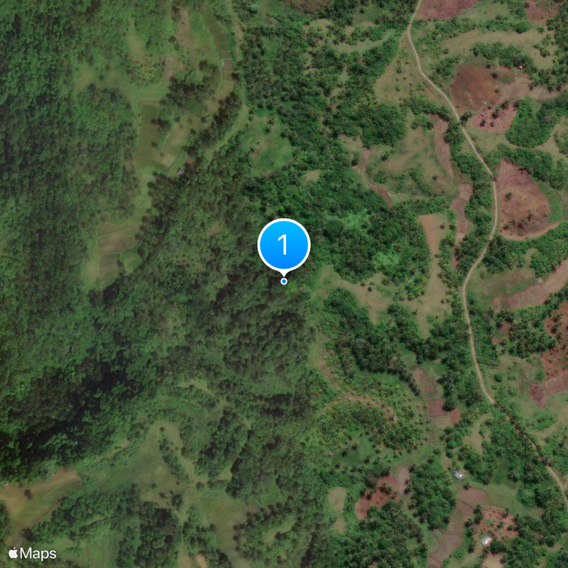
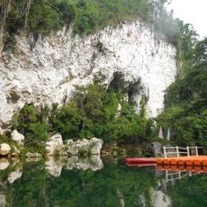
Beneath the forested hills run countless cave systems, many of which have never been mapped. Adventurers come here to explore underground passages and chambers that few people know about.
Location: Eastern Visayas
Inception: June 19, 1965
Capital city: Catbalogan
Reference: 0806000000
Shares border with: Masbate
Address: Samar, Philippines
Website: https://samar.lgu-ph.com
GPS coordinates: 11.83333,125.00000
Latest update: December 15, 2025 06:50
San Juanico Bridge
59.1 kmMacArthur Landing Memorial National Park
73.6 km
Biliran
61.3 km
Calbayog Cathedral
51.2 km
Samar Island Natural Park
32.2 km
Price Mansion
65.6 km
Palo Cathedral
75 km
Leyte Provincial Capitol
64.9 km
Biliran Watchtower
70.1 km
Langun-Gobingob Cave
22.6 km
Naval Cathedral
72.5 kmCalbayog Pan-as–Hayiban Protected Landscape
72.1 km
Kalanggaman Island Beach
114.3 km
Leyte Landing historical marker
73.6 kmParco nazionale di Sohoton-Natural-Bridge
55.6 km
Leyte Park
64.8 kmSamar Natural Park
32.2 km
Tanauan Church
80.2 km
Patio Victoria Baluarte Beach Resort
69.7 km
Japanese Pillbox historical marker
69.7 km
Capitancillo Island Lighthouse
135.5 km
Landing at Dulag, Leyte historical marker
96.4 km
Agta Beach
72.9 km
Jaime C. de Veyra historical marker
80.4 km
Basey Church
62 kmPinipisakan Falls
47.8 kmBlanco Beach Resort
111.9 km
Walter William Marquardt historical marker
96 kmVisited this place? Tap the stars to rate it and share your experience / photos with the community! Try now! You can cancel it anytime.
Discover hidden gems everywhere you go!
From secret cafés to breathtaking viewpoints, skip the crowded tourist spots and find places that match your style. Our app makes it easy with voice search, smart filtering, route optimization, and insider tips from travelers worldwide. Download now for the complete mobile experience.
A unique approach to discovering new places❞
— Le Figaro
All the places worth exploring❞
— France Info
A tailor-made excursion in just a few clicks❞
— 20 Minutes