Santo Tomas, municipality of the Philippines in the province of Davao del Norte
Santo Tomás is a municipality in Davao del Norte located in the northern region of the province at roughly 37 meters elevation. The town includes administrative buildings, public spaces, and agricultural areas that form the basis of everyday life.
The municipality was officially established on August 14, 1959, marking a turning point in the administrative structure of Davao del Norte. This step enabled better local management and regional development.
The name draws from Saint Thomas, a figure reflected in local celebrations and religious observances throughout the year. These traditions help shape community identity and bring residents together regularly.
The municipality is most accessible on weekdays during business hours when government offices are open and services are running. Plan ahead for administrative services and check opening times before visiting.
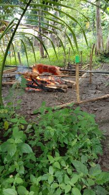
The area balances agricultural traditions with contemporary governance systems, showing how rural productivity and modern administration can coexist. This combination allows residents to benefit from both farming activities and improving services.
The community of curious travelers
AroundUs brings together thousands of curated places, local tips, and hidden gems, enriched daily by 60,000 contributors worldwide.