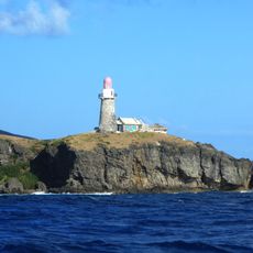
Batan Island, Volcanic island in Batanes Province, Philippines
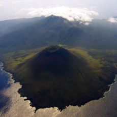
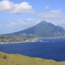
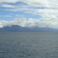
Batan Island is a volcanic island in Batanes Province, located in the northern Philippines. It has two main mountains—Mount Iraya to the north and Mount Matarem to the south—that shape the landscape and stand out along the shoreline.
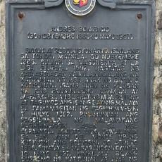
Japanese forces occupied the island on December 8, 1941, taking control of an airfield near Basco. The naval combat units later withdrew, marking a significant moment during the Second World War in this region.
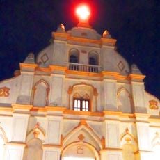
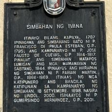
The Ivatan people, who live here, have kept their way of life through stone houses built low and strong against the wind. Walking through villages, you see these structures everywhere, shaped by generations of living on this windy island.
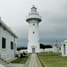
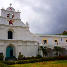
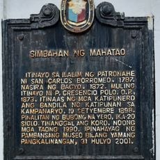
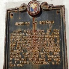
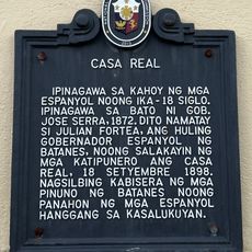
The island is divided into four municipalities, with Basco serving as the provincial capital and the main entry point for visitors. The other towns—Ivana, Mahatao, and Uyugan—are accessible by local roads and offer different areas to explore.
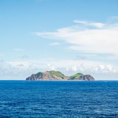
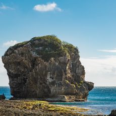
The Batan Volcanic Complex displays rock formations from different geological periods, creating a mix of hills, cliffs, and varied stone structures across the island. This layering of different geological ages makes the landscape unusually diverse for its size.
Location: Batanes
Elevation above the sea: 1,009 m
Part of: Batan Islands
GPS coordinates: 20.41667,121.95000
Latest update: December 7, 2025 20:40
Eluanbi Lighthouse
200.8 km
Smith Volcano
97.9 km
Mount Iraya
8.5 km
Low-Level Radioactive Waste Storage Site
180.6 km
Lesser Orchid Island
174.3 km
Camiguin de Babuyanes
176.5 km
Taiwan Southernmost Point
200 km
Babuyan Claro
99.3 km
Basco Lighthouse
4.2 km
Cape Engaño Lighthouse
205.4 km
Sail Rock
205.2 km
鵝鑾鼻保安宮
201 km
Lanyu Lighthouse
191 km
Sabtang Lighthouse
11.9 km
San Carlos Borromeo Parish Church
324 m
Batanes Bisumi Fighters historical marker
12.2 km
Kenan Aman Dangat historical marker
4.2 km
Eluanbi Park
200.7 km
Batanes High School historical marker
4.2 km
Church of Mahatao historical marker
318 m
Church of Sabtang historical marker
12.2 km
Church of Basco historical marker
4.3 km
Jose Rizal historical marker
4.1 km
Longpan Grassland
203.5 km
Andres Bonifacio historical marker
5.9 km
Church of Itbayat historical marker
42.7 km
Casa Real historical marker
4.2 km
Church of Ivana historical marker
6.7 kmVisited this place? Tap the stars to rate it and share your experience / photos with the community! Try now! You can cancel it anytime.
Discover hidden gems everywhere you go!
From secret cafés to breathtaking viewpoints, skip the crowded tourist spots and find places that match your style. Our app makes it easy with voice search, smart filtering, route optimization, and insider tips from travelers worldwide. Download now for the complete mobile experience.
A unique approach to discovering new places❞
— Le Figaro
All the places worth exploring❞
— France Info
A tailor-made excursion in just a few clicks❞
— 20 Minutes