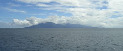
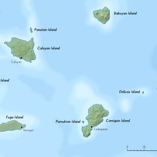
Camiguin de Babuyanes, Stratovolcano on Camiguin Island, Babuyan Islands, Philippines.
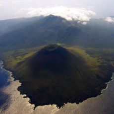
Camiguin de Babuyanes is a stratovolcano located at the southwest tip of Camiguin Island in the Babuyan archipelago, rising to 712 meters above sea level. Its steep slopes are covered in dense forest that clings to the mountainside.
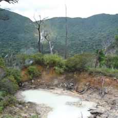
The mountain experienced a significant phreatic eruption in 1857, representing the only recorded volcanic activity in its documented history. It has remained quiet since that event.
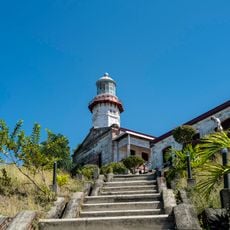
The indigenous inhabitants of Camiguin Island maintain traditional fishing and farming practices while living in proximity to this natural formation.
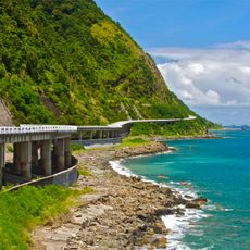
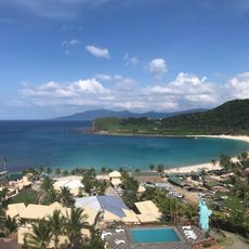
Access to the island is by boat from nearby ports, and visitors should prepare for rough conditions and limited facilities. Climbing the mountain requires good fitness and sturdy footwear for the steep, muddy trails.
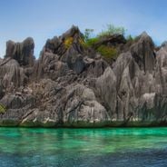
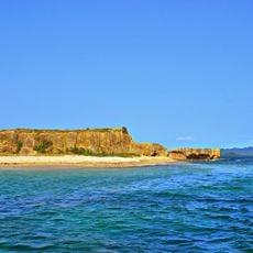
Geological layers date back to the Pliocene era, when andesitic volcanic activity shaped the island and created the foundation for today's landscape. This ancient volcanic history is visible in the rock formations throughout the area.
The community of curious travelers
AroundUs brings together thousands of curated places, local tips, and hidden gems, enriched daily by 60,000 contributors worldwide.