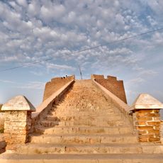
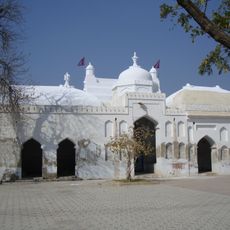
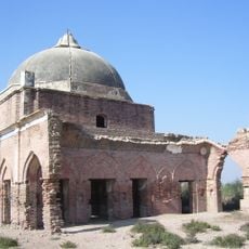
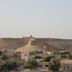
Sanghar District, Administrative district in central Sindh, Pakistan
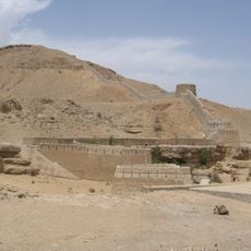
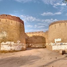
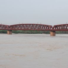
Sanghar District is an administrative area in Sindh province with flat plains where fields and small settlements spread across the landscape. Multiple canals run through the region, bringing water from the Indus River and shaping how the land is used.
The area became a separate administrative district in 1954 after Sindh was reorganized following the end of British colonial rule. This restructuring created the current system of local governance divisions.
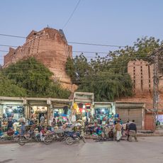
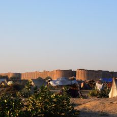
Local communities here maintain traditional ways of life centered on farming and raising livestock in the region. Visitors will notice how people's daily routines are deeply connected to the water systems and the land they depend on.
The best time to visit is between October and March when temperatures are milder. Travelers should know that basic accommodations and services exist in the region, though tourist facilities are limited.
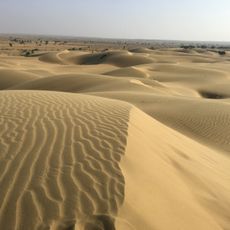
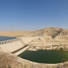
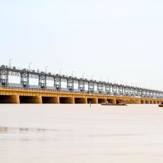
The Mithrao Canal system has transformed barren land into farmable ground for generations and remains central to how residents survive here. This water engineering shows how human effort overcame the harsh conditions of the Thar Desert.
The community of curious travelers
AroundUs brings together thousands of curated places, local tips, and hidden gems, enriched daily by 60,000 contributors worldwide.