
Kharr Sar, summit in Pakistan
Location: Federally Administered Tribal Areas
Elevation above the sea: 1,637 m
GPS coordinates: 32.96667,69.70889
Latest update: May 15, 2025 13:01
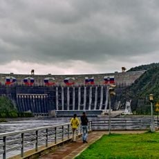
Sayano–Shushenskaya Dam
2806.6 km
Khovd
2458.8 km
Sayano-Shushenski Nature Reserve
2754.8 km
Khangai Mountains
2842.7 km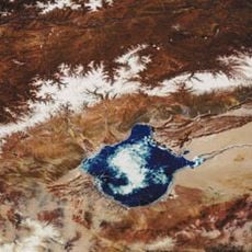
Ubsunur Hollow
2701.3 km
Ubsunur Hollow Biosphere Reserve
2790.5 km
Sayano-Shushenskoe Reservoir
2800.5 km
Otgontenger
2846.7 km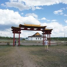
Ustuu-Huree
2704.6 km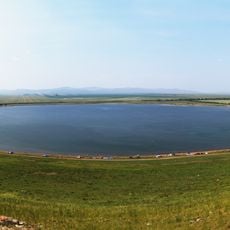
Khankul Lake
2826.1 km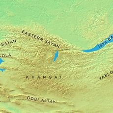
Tannu-Ola mountains
2730.3 km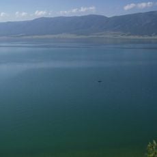
Chagytai Lake
2858.2 km
Tore-Khol Lake
2817 km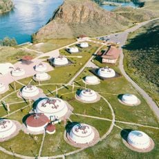
Aldyn-Bulak
2846.2 km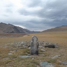
Munkhkhairkhan National Park
2477.9 km
Ozero Sut-Khol'
2698.3 km
Tsambagarav Uul National Park
2486 km
Har Us Nuur National Park
2569.9 km
Ulaagchinii Khar Nuur National Park
2756.5 km
Safronovsky burial ground
2762 km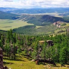
Khan-Khokhi Khyargas Mountain National Park
2763.6 km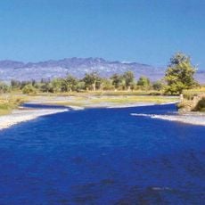
Bulgan Gol-Ikh Ongog National Park
2338.3 km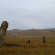
Izix chaatasi
2852.6 km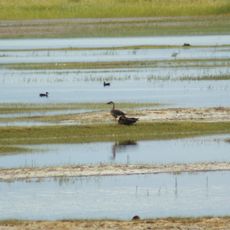
Khar Us Nuur National Park
2525.3 km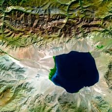
Uvs Nuur Basin
2695 km
Altan Els
2806 km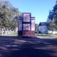
Памятник землякам, павшим в годы Великой Отечественной войны (Изыхские Копи)
2858.7 km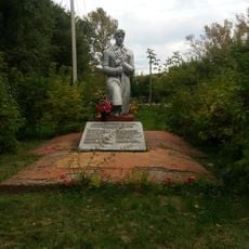
Братская могила 27 партизан, погибших в бою с колчаковскиим отрядом за с. Очуры в ночь на 3 октября 1919 года (Очуры)
2846.6 kmReviews
Visited this place? Tap the stars to rate it and share your experience / photos with the community! Try now! You can cancel it anytime.
Discover hidden gems everywhere you go!
From secret cafés to breathtaking viewpoints, skip the crowded tourist spots and find places that match your style. Our app makes it easy with voice search, smart filtering, route optimization, and insider tips from travelers worldwide. Download now for the complete mobile experience.

A unique approach to discovering new places❞
— Le Figaro
All the places worth exploring❞
— France Info
A tailor-made excursion in just a few clicks❞
— 20 Minutes